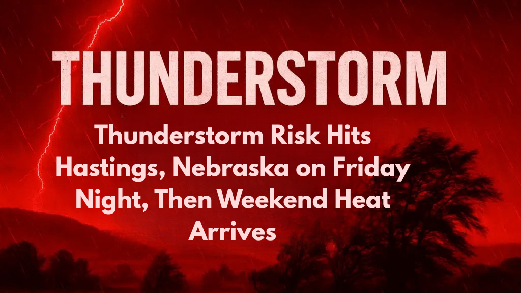
Residents of Hastings, Nebraska, are preparing for another round of storms late Friday evening. Severe thunderstorms are expected to roll through the area, bringing damaging winds and heavy rainfall. This comes after a day of hot and humid weather with temperatures reaching into the low 90s.
Thunderstorm Threat on Friday Night
The National Weather Service in Hastings has issued a warning for potential severe thunderstorms later tonight. These storms could cause wind gusts up to 60 mph, along with heavy rain that might lead to localized flooding.
Thunderstorms are expected to develop during the evening and could strengthen as the night progresses, with the greatest risk for severe weather east of Kearney and Grand Island.
While the morning and afternoon hours on Friday remain mostly dry, the weather will take a turn later on. Residents are encouraged to secure outdoor objects and prepare for potential power outages. It’s also important to avoid flooded roads in case of heavy rain. Be sure to charge your phones, as storms may cause temporary power interruptions.
Calmer Weather on Saturday
Once the storms move out on Saturday morning, the weather will clear up, bringing calmer conditions. The clouds will start to dissipate, and temperatures will drop a little with highs expected to reach around 85°F. The winds will also ease, making it a more comfortable day compared to the stormy night before.
Weekend and Early Week Heat
After a break in the weather on Saturday, Sunday and Monday will see temperatures climb once again. With mostly sunny skies, highs will reach into the low to mid-90s. This means that Hastings, York, and Holdrege could experience very hot weather at the start of next week, making it important for everyone to stay hydrated and cool during the heat.
Preparing for Future Storms
The storms will clear out by Saturday morning, but the weather may become unsettled again on Tuesday. Thunderstorm chances return on Tuesday, with more storms possibly developing and lingering through the week. Therefore, residents should continue to monitor the weather for updates and be prepared for further storm risks.
5-Day Nebraska Forecast:
Friday: High 83–92°F, PM storms likely east, severe threat overnight
Saturday: High 80–85°F, clearing skies, calmer winds
Sunday: High 88–93°F, mostly sunny, dry
Monday: High 90–95°F, increasing clouds, humid
Tuesday: Storm chances return, highs near 90°F, stay weather-aware
Friday night’s severe thunderstorms are expected to bring a mix of damaging winds and heavy rainfall to Hastings and eastern Nebraska. The risk of flooding and high winds makes it important for residents to stay prepared and weather-aware.
After a stormy night, calmer and warmer conditions will follow into the weekend, but the heat will return next week. The weather may turn active again by Tuesday, so be sure to monitor updates from the National Weather Service.


