Chicago, Illinois – Illinois residents are in for a calm summer weekend before thunderstorms make their return on Tuesday afternoon. The weather will heat up again, with a higher risk of widespread storms by Wednesday.
According to the National Weather Service in Chicago, temperatures will stay seasonable through Sunday, with highs ranging from the upper 70s near the Indiana lakeshore to the upper 80s inland. While there’s a 20% chance of isolated storms south of US-24 on Sunday afternoon, most areas will remain dry. Monday will be hot and sunny, with highs reaching up to 90°F.
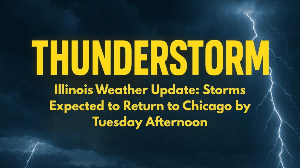
By Tuesday, the chances for rain and thunderstorms will rise to 30%, mainly in the afternoon. This threat will increase to 60% on Wednesday as a more widespread weather system moves through, bringing heavy downpours, lightning, and possible delays to the Chicago metro and surrounding areas.
Drivers should be aware of changing road conditions, especially during evening commutes next week. It’s a good idea for residents to check sump pumps and secure any outdoor items in preparation for the storms. While severe weather is not currently expected, keep an eye out for updates as conditions develop.
More rain and storms are expected through Wednesday night, with additional storm chances continuing into the middle of the week.
☀️ Five-Day Forecast for Northern Illinois:
Saturday Night: Partly cloudy, lows 59–70°F
Sunday: Isolated PM storms south of US-24, highs 81–85°F
Monday: Hot and sunny, highs 86–90°F
Tuesday: Afternoon storms possible (30%), highs 85–89°F
Wednesday: Widespread thunderstorms (60%), highs 84–89°F


