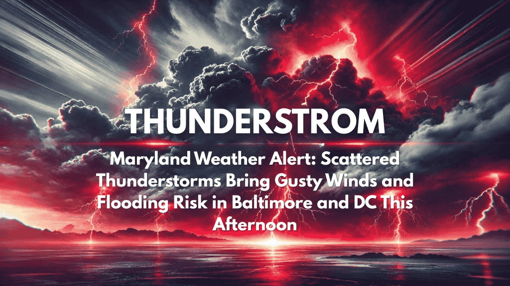
Baltimore, Maryland – Drivers and residents across Maryland and the D.C. metro area should prepare for scattered thunderstorms and gusty winds through Monday evening, with the potential for localized flooding in low-lying areas and urban streets.
According to the National Weather Service Baltimore/Washington, isolated thunderstorms are expected to develop this afternoon and will linger into tonight.
Heavier downpours are possible between 2 p.m. and 8 p.m., with urban highs around 81°F and cooler temperatures in the low 70s for mountain areas. Winds will remain out of the southeast at 5–8 mph, but slow-moving, strong storms could lead to brief, hazardous conditions on major routes like I-95 and the Beltway.
Cities such as Baltimore, Rockville, Frederick, and Hagerstown may experience scattered showers and isolated storms, particularly during the evening commute.
Urban flooding and ponding on roadways will remain a concern, especially where drains are blocked or the ground is already saturated. Residents are advised to avoid driving through flooded streets and keep electronic devices charged in case of isolated power outages.
The risk of storms should diminish by 10 p.m., although scattered showers could continue in some mountain areas. Further weather advisories may follow if conditions worsen.


