Salt Lake City, Utah – Scattered thunderstorms are expected to impact central and northern Utah Tuesday afternoon, bringing wind gusts up to 60 mph and frequent lightning, which could spark wildfires and lead to rapid fire spread. Residents from Brigham City to Salt Lake City and Ogden are urged to secure loose items and avoid unnecessary travel as storms move through the area.
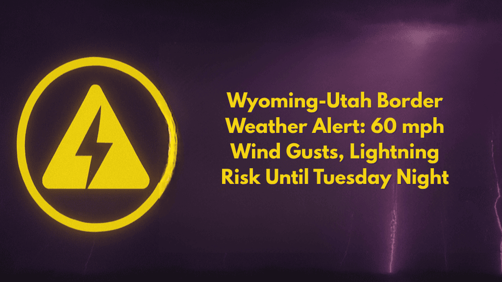
According to the National Weather Service, a Level 2 “Slight Risk” for severe storms is in effect until Tuesday night for much of central and northern Utah, extending into southwest Wyoming.
The greatest threat will be isolated to scattered damaging wind gusts, with storms expected to occur between 2 p.m. and 9 p.m.. Frequent lightning, particularly during dry storms, increases the risk of new fire starts and fast-moving wildfires on already dry ground.
Areas Most Affected and Safety Tips
Communities including Logan, Tooele, and Park City should prepare for downed tree branches, potential power outages, and reduced visibility along I-15 and I-80. Emergency managers recommend charging devices, staying indoors during storms, and keeping up with weather alerts. Dry lightning may also create additional hazards for firefighters and residents near active burn areas.
Wildfire Risks and Preparation
This is the first severe thunderstorm event of July, similar to last summer’s wind-driven fires. Stay alert—further advisories or weather warnings may be issued as storms develop throughout the evening.


