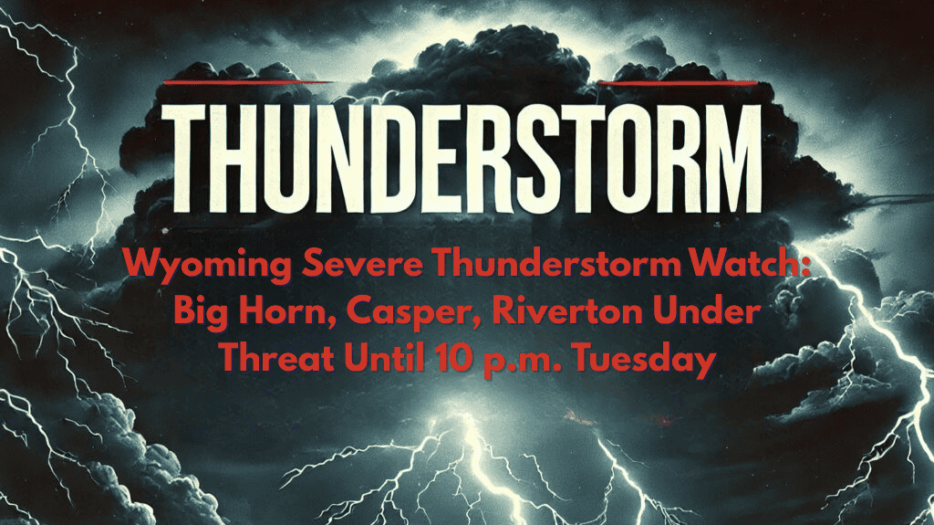
Casper, Wyoming – Severe thunderstorms are moving across central and northern Wyoming Tuesday evening, threatening damaging winds, large hail, and dangerous lightning for thousands of residents through 10 p.m. tonight.
According to the National Weather Service Storm Prediction Center, a Severe Thunderstorm Watch remains in effect until 10 p.m. MDT for Big Horn, Fremont, Hot Springs, Johnson, Natrona, and Washakie counties. Casper, Riverton, Thermopolis, Buffalo, and Worland are all under threat and should prepare for rapidly changing conditions and potential power outages.
Areas Affected and Travel Safety
Drivers along I-25 and US-20 may encounter reduced visibility, flooded roads, and wind-blown debris. Emergency managers are recommending that residents secure outdoor items, charge electronic devices, and avoid travel until the storms pass. Local officials urge, “If you hear thunder, move indoors immediately.”
Impact on Parks and Events
City parks and events in Riverton, Casper, and Buffalo may close early as the severe weather moves through. Large hail and 60 mph wind gusts pose a risk of damaging vehicles and roofs, so residents should take precautions to protect their property.
This marks one of the most widespread summer storm threats so far this July, and more severe weather advisories may be issued if conditions persist.


