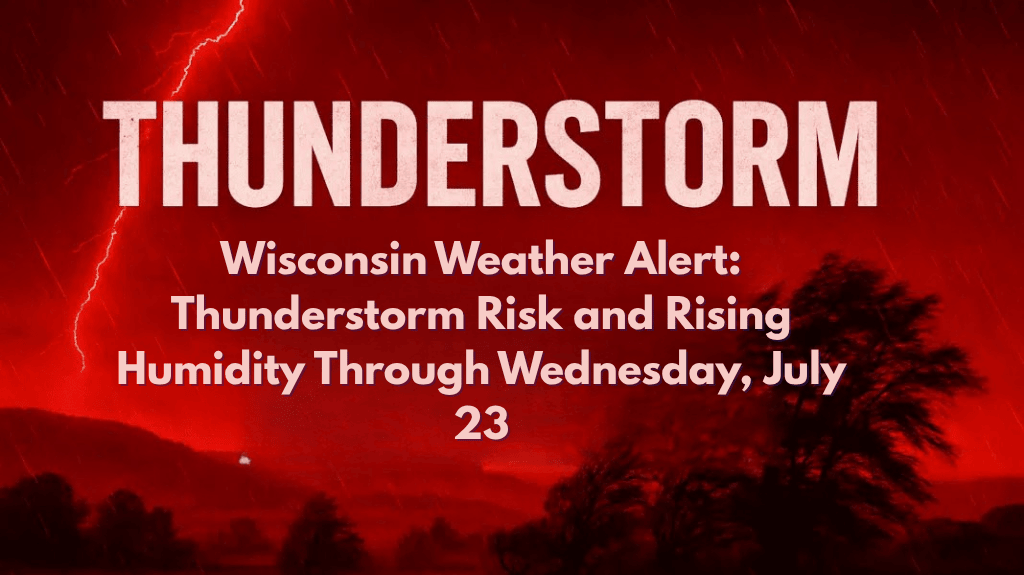
Green Bay, Wis. – Central and Northeast Wisconsin are set to experience a mix of thunderstorms and rising humidity over the next several days, with temperatures climbing into the mid-80s by early next week. Residents should be prepared for scattered storms and changing weather conditions through Wednesday, July 23.
Thunderstorm Chances and Humidity Build Throughout the Week
According to the National Weather Service in Green Bay, seasonable temperatures will continue through the weekend, with highs in the mid to upper 70s. However, thunderstorms are expected to start Friday night, briefly taper off on Sunday, and then return with more intensity on Monday through Wednesday.
This increase in storm activity is driven by a humid air mass settling over the region. While not all areas will see rain, scattered showers and thunderstorms are likely to pop up across much of the region.
Hot and Humid Conditions Expected
By Wednesday, cities like Appleton, Wausau, and Stevens Point could see highs reach up to 87°F. Along with the heat, humidity will rise sharply by Tuesday, making the air feel even warmer. Residents should be prepared for both the heat and the potential for heavy rain, especially during the afternoon and evening hours.
Impact on Travel and Outdoor Activities
With storms expected to affect both morning and evening commutes, particularly on highways like I-41 and US-51, drivers should stay alert for ponding on the roads and slow travel during downpours. Localized heavy rain could lead to slick roads and reduced visibility, making travel more challenging.
Weather Safety Tips and Precautions
Secure outdoor plans: If you have outdoor activities planned, it’s a good idea to keep an eye on the weather and have an indoor backup plan.
Keep devices charged: Prepare for the possibility of brief power outages during storms by keeping mobile devices charged.
Watch for gusty winds: While not severe, localized storms may bring gusty winds and heavy rain, which could briefly disrupt your plans.
What’s Ahead for the Week
While no widespread severe weather is currently expected, conditions may change as storms develop. Rain chances remain elevated through Thursday, and there could be additional weather advisories early next week if storms intensify. Make sure to stay informed on the latest updates to prepare for any sudden weather changes.
Five-Day Forecast for Green Bay and Surrounding Areas:
Friday: High 75°F, thunderstorms likely after evening.
Saturday: High 77°F, scattered storms with brief periods of sunshine.
Sunday: High 79°F, storms taper off but chances remain.
Monday: High 84°F, thunderstorms return with increased humidity.
Tuesday: High 85°F, scattered thunderstorms with rising humidity.
Wednesday: High 87°F, more storms likely, heavy rain possible.
Wisconsin residents, especially in Appleton, Wausau, and Stevens Point, should be prepared for thunderstorms, rising humidity, and increased rain chances through Wednesday, July 23. Be ready for localized downpours, gusty winds, and potential delays during commutes.
Make sure to stay updated on weather conditions as the week progresses, and take necessary precautions to stay safe during these changing weather patterns.


