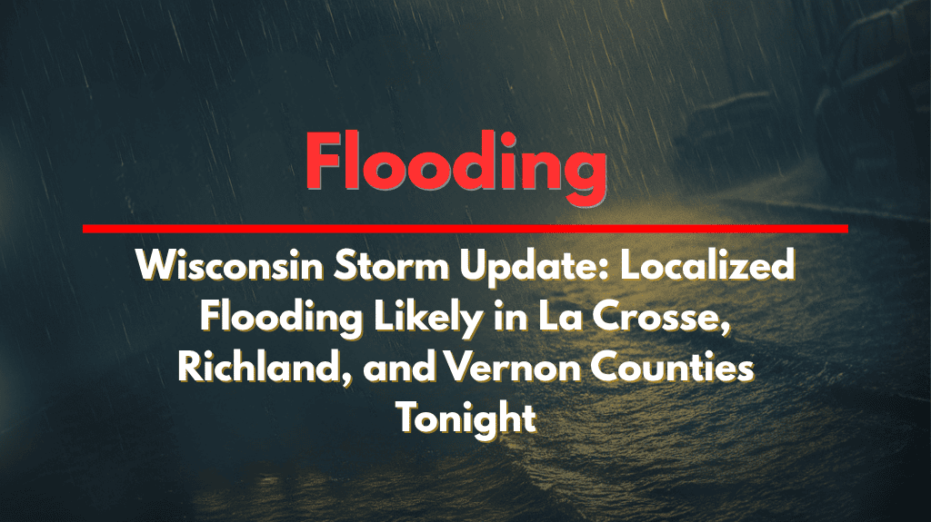
La Crosse, Wis. – Western Wisconsin is bracing for possible urban and street flooding tonight and into Saturday morning as multiple rounds of heavy rain move through the region.
The National Weather Service in La Crosse has issued a Level 2 risk for excessive rainfall, particularly across counties south of Interstate 90, including La Crosse, Richland, Vernon, and Monroe. Thunderstorms will bring significant rainfall, and if the storms stall or retrace their paths, flooding could become widespread.
What to Expect:
Heavy rainfall is expected, with cities like Prairie du Chien, Viroqua, and Sparta seeing several inches of rain over a short period.
Urban and street flooding is likely, especially in low-lying areas and locations with poor drainage.
Flash flooding is a significant concern, particularly in areas near creeks and streams.
Safety Tips:
Motorists should avoid driving through flooded roads and be aware of rising water levels, especially at night when visibility is poor.
Remember the critical advice: “Turn Around, Don’t Drown.” Flash flooding can occur quickly, and darkness can make high water difficult to see.
Stay alert for emergency alerts overnight and keep track of updates.
Forecast:
Rain will continue through early Saturday afternoon, with an update expected by late morning.
Additional flood advisories could be issued depending on storm development.
Residents in the affected areas are urged to stay weather-aware and take necessary precautions to stay safe during this stormy period.


