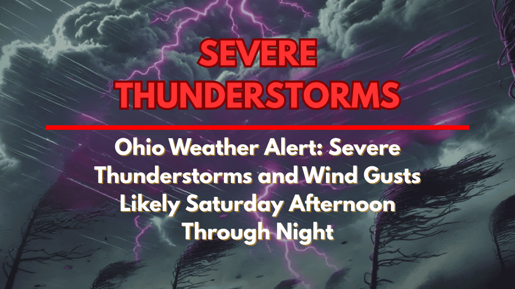
Northern Ohio is expected to experience severe thunderstorms and damaging wind gusts on Saturday, July 19, as the National Weather Service (NWS) warns of a Slight Risk for severe weather. The storms are expected to start in the afternoon and continue through the night, with cities such as Cleveland, Sandusky, Elyria, and Toledo at risk for strong winds, heavy rain, and possibly hail.
Severe Weather Risks Across Northern Ohio
The NWS has issued a Slight Risk (Level 2 of 5) for severe weather in areas across north-central and northeast Ohio. Cities like Mansfield, Ashland, and Lorain could see fast-developing storms, with the first round likely to hit by mid-afternoon.
The main threats include damaging wind gusts, localized flooding, and the potential for hail. These storms may develop in multiple rounds, with another wave expected later in the evening and overnight.
Preparing for Strong Winds and Storms
Residents are advised to secure outdoor items that could be blown away by strong wind gusts and avoid travel during peak storm hours, especially during the afternoon and evening. Strong winds could cause tree damage and power outages, so it’s important to have a plan in case of a power loss. Those attending outdoor events or camping should have a shelter plan in place.
Stay Updated and Be Prepared
Since the storm timing remains uncertain, it’s important to stay weather-aware and listen for updates from the NWS. The NWS may issue additional warnings as storm models change. Keep an eye on NOAA Weather Radio or local alerts to stay informed throughout the day and night.
Northern Ohio faces a high risk of severe thunderstorms, especially in the afternoon and evening. Being prepared and staying informed is key to ensuring safety during these unpredictable storms.


