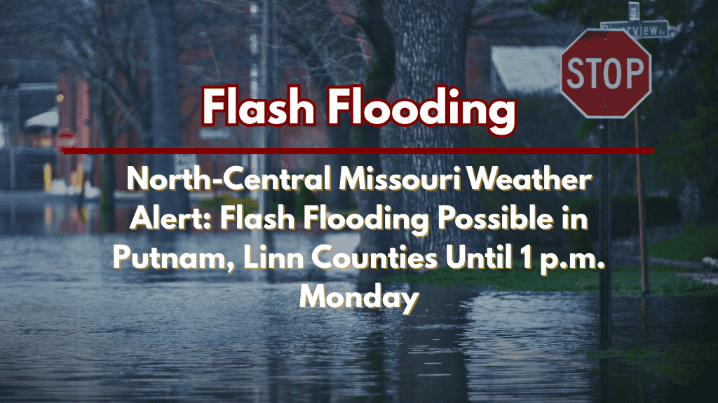
Kirksville, MO – Flash flooding is a real threat across north-central and northeast Missouri through Monday afternoon due to thunderstorms bringing heavy rain to the region. The National Weather Service in Kansas City/Pleasant Hill has issued a Flood Watch, urging residents to prepare for flooding in low-lying areas and along small creeks.
Flood Risk in North-Central Missouri
The Flood Watch is in effect until 1 p.m. on Monday for Putnam, Schuyler, Sullivan, Adair, Linn, and Macon counties. Thunderstorms are expected to produce several inches of rain in a short time, which could increase the flood risk in already flood-prone areas. The storms are likely to intensify overnight into Monday morning, and periods of heavy rain could cause flash flooding in some areas.
Flooded Roadways and Safety Tips
Cities like Kirksville, Macon, Unionville, and Brookfield are at risk for flooded roadways, particularly along low-lying routes and near creeks such as the Chariton and East Locust. Drivers are strongly advised to avoid water-covered roads, especially at night when visibility is reduced. Flash flooding can be sudden and dangerous, so it’s important to monitor emergency updates and take necessary precautions.
Preparing for Flash Flooding
This is one of the more widespread flood watches seen in northern Missouri this summer, and similar conditions were last experienced in June 2023. Residents should charge their phones, clear any drains around their homes, and be ready to move to higher ground if flooding worsens. As rainfall totals accumulate overnight, additional warnings may be issued depending on the conditions.
Stay Weather-Aware
The Flood Watch will remain in effect until 1 p.m. Monday, and it’s important to stay updated on local weather alerts and emergency information. Flash flooding can develop quickly, and staying prepared is key to staying safe during these dangerous weather conditions.


