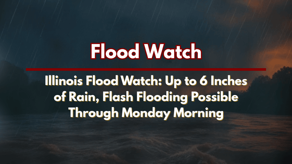
Springfield, Ill. – Flash flooding is a significant concern across central and east-central Illinois through Monday morning as waves of heavy thunderstorms are expected to dump over 6 inches of rain in some areas.
The National Weather Service in Lincoln has issued a Flood Watch for more than 40 counties, including Peoria, Champaign, Decatur, and Springfield, with the risk of flash flooding peaking from Sunday morning through 10 a.m. Monday.
Flood Risk and Severe Storms
According to the National Weather Service, the strongest storms will bring rainfall rates that could exceed 2 inches per hour. This intense rain, combined with “training” storms—repeated rounds of downpours over the same area—will increase the likelihood of flash flooding in low-lying areas and along small creeks. The risk is highest for counties like Knox, McLean, Lawrence, and Richland, as well as cities like Peoria, Springfield, and Champaign.
Flash Flooding Concerns and Travel Safety
Motorists are strongly advised to avoid flooded roadways, especially after dark when it is harder to judge water depth. Low-lying roads, underpasses, and small creeks are particularly vulnerable to flooding. It’s essential for residents to remain cautious and avoid non-essential travel during peak rainfall hours.
Preparing for Flash Flooding
Residents in affected areas should prepare for possible power outages and flash flooding by charging phones, monitoring emergency alerts, and securing outdoor items. If necessary, be ready to move to higher ground. With heavy rainfall expected, additional watches or warnings may be issued later today as conditions evolve.
Stay Weather-Aware
Flash flooding can happen quickly, especially in urban areas and along small waterways. Stay updated on the latest weather alerts and take action if conditions worsen.


