Columbus, Ohio – Despite a decrease in overall rain chances across central and southwest Ohio, brief but intense downpours could still affect areas north of I-70 tonight.
The National Weather Service in Wilmington warns that low clouds and dense fog will develop overnight, reducing visibility into Sunday morning. Scattered showers and storms are expected to redevelop by Sunday afternoon, particularly in areas from Sidney to Chillicothe.
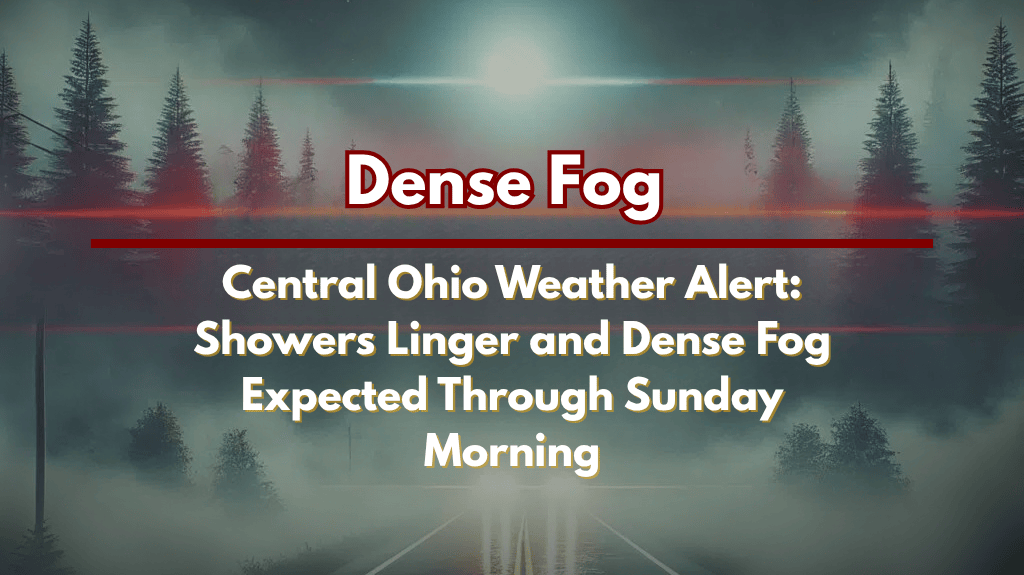
Overnight Weather and Fog Risks
Overnight temperatures will remain mild, ranging from 70°F in Sidney and Kenton to 73°F in Cincinnati and Dayton. Patchy fog is expected to develop overnight, with visibility potentially dropping to near zero in valleys and open fields before sunrise. Hazardous travel conditions are likely, especially on U.S. Route 33, I-71 near Wilmington, and rural areas north of Columbus.
Travel Safety and Storm Risks
Residents in Marysville, Celina, and Newark should be prepared for brief downpours, which could cause ponding on roadways late tonight. Early morning travelers should use low beams, reduce speed, and allow extra time to reach their destinations. By Sunday afternoon, storms may return, bringing lightning, gusty winds, and localized flooding to the area.
Preparing for Sunday’s Weather
Conditions will continue to evolve throughout Sunday, with further advisories likely as storms develop. Stay alert and keep an eye on weather updates, especially if you plan to travel. Expect more showers and storms as the day progresses, which could lead to brief but intense weather disruptions.


