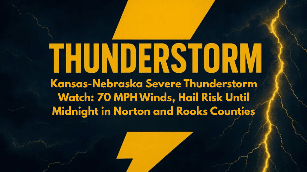
Norton, Kan. – A Severe Thunderstorm Watch has been issued for parts of northwestern Kansas and south-central Nebraska, with damaging winds up to 70 mph and the potential for quarter-size hail. The watch will remain in effect until midnight CDT for counties including Norton, Rooks, and Sheridan.
Storm Risks Across Kansas and Nebraska
According to the National Weather Service Storm Prediction Center, Severe Thunderstorm Watch 529 includes 13 Kansas counties, from Decatur to Thomas, and 13 counties in south-central Nebraska, including Adams, Hall, and Red Willow. Storms are expected to intensify throughout the evening, with rapid movement and dangerous cloud-to-ground lightning being the primary hazards.
High Wind and Hail Threats
Residents in Graham, Phillips, Osborne, and Rawlins counties in Kansas should prepare for quickly-developing storms that could lead to downed trees, power outages, and hazardous travel. In Nebraska, communities such as Kearney, Hastings, and McCook should also be on alert as the storms track eastward.
Safety Precautions and Travel Tips
Emergency management officials recommend charging your mobile devices, securing outdoor items, and avoiding travel during peak storm periods. Motorists traveling on U.S. Routes 36 and 183 should remain vigilant for water-covered roads and flying debris. Given the strength of these storms, brief flash flooding and wind damage are possible.
Monitoring Conditions
Although storms are expected to weaken overnight, additional weather alerts may be issued if new cells form or intensify. Residents should continue to monitor NOAA Weather Radio or local weather alerts for the latest updates and take appropriate precautions to stay safe.


