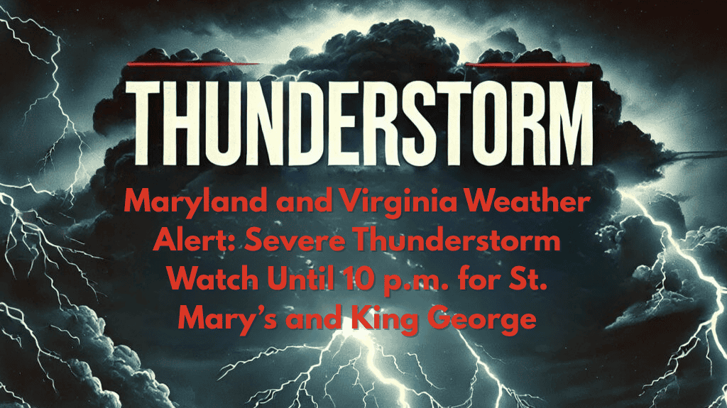
Lexington Park, Md. – Strong storms are expected to affect Southern Maryland and parts of Central Virginia this evening, with a Severe Thunderstorm Watch in effect until 10 p.m. Saturday for St. Mary’s County in Maryland and King George County in Virginia.
Storm Risks and Severe Weather Conditions
According to the National Weather Service in Baltimore/Washington, the watch covers cities including Lexington Park, California, and Dahlgren. Residents can expect damaging wind gusts, frequent lightning, and brief heavy downpours. The severe storms are expected to develop throughout the evening, potentially disrupting outdoor plans.
Coastal and Marine Hazards
In addition to the land threats, the watch also extends to adjacent coastal waters, including the Chesapeake Bay from Drum Point to Smith Point and sections of the Tidal Potomac River. Mariners are strongly advised to seek safe harbor immediately, as sudden wind gusts could pose a risk to small vessels. Those along the Chesapeake Bay and Potomac shorelines should secure loose outdoor items and stay indoors if thunder is heard.
Preparing for Severe Weather
This alert is part of a series of stormy evenings across the Mid-Atlantic this July, fueled by atmospheric moisture and instability. While the storms are expected to weaken after 10 p.m., more storms may develop quickly through the evening, and additional warnings could be issued at any time.
Stay Weather-Aware
Residents are urged to monitor local weather alerts and be prepared for rapidly changing conditions. Secure outdoor items, charge phones, and avoid unnecessary travel during the peak storm activity.


