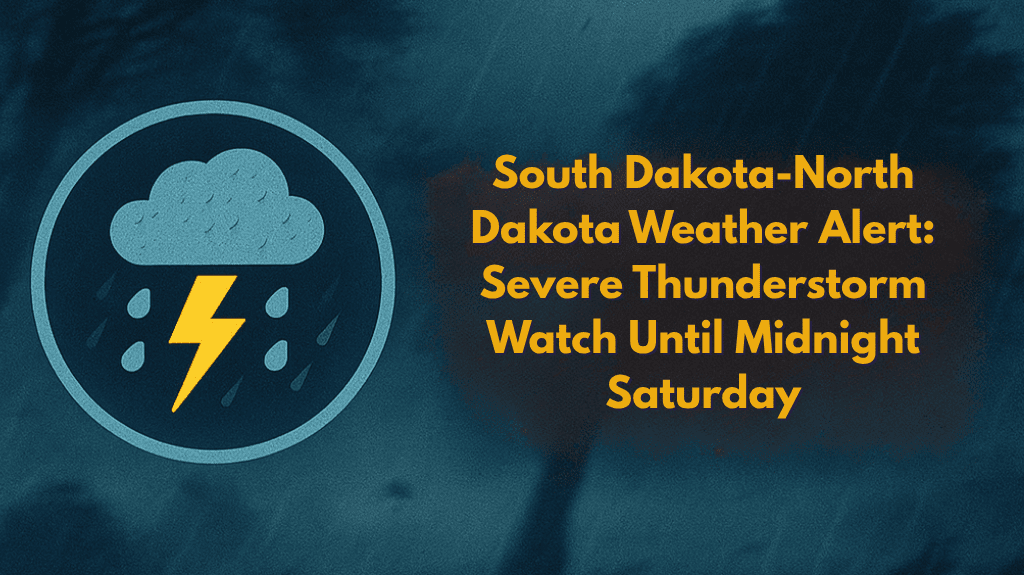
Rapid City, S.D. – Severe thunderstorms are expected to affect western South Dakota and southwestern North Dakota on Saturday, with damaging winds and large hail likely through midnight. The National Weather Service has issued a Severe Thunderstorm Watch for the region, which is in effect until 12:00 a.m. MDT.
Storm Risks and Affected Areas
Severe Thunderstorm Watch 528 includes nine counties in South Dakota—Butte, Custer, Fall River, Harding, Lawrence, Meade, Oglala Lakota, Pennington, and Perkins—and seven counties in North Dakota, including Stark, Bowman, and Hettinger. The main threats from these storms include wind gusts up to 70 mph and hail up to 2 inches in diameter.
Hazards and Travel Disruptions
Cities like Rapid City, Belle Fourche, and Dickinson may experience brief power outages, downed trees, or hazardous road conditions. Interstate 90 and U.S. Highway 85 are particularly at risk for storm-related disruptions. Drivers in these areas should exercise caution and expect sudden changes in visibility due to heavy rain, hail, and strong winds.
Safety Recommendations
Residents are advised to secure outdoor items, stay indoors during thunderstorms, and ensure they have multiple ways to receive weather alerts. Those camping in the Black Hills or traveling through the Badlands should seek shelter immediately.
What to Expect Overnight
While storm chances are expected to taper off overnight, additional alerts may be issued on Sunday morning if the storm systems persist. Stay weather-aware and monitor local alerts for updates.


