Residents of Tallahassee, Florida, should prepare for dangerously high temperatures and a stormy afternoon on Tuesday, July 22nd. The National Weather Service has issued a heat advisory for the region from 11:00 AM to 7:00 PM EDT. Expect the temperature to peak near 98°F, with the heat index soaring to a blistering 107°F, making outdoor conditions hazardous.
Weather Overview:
Heat Advisory: Dangerously high temperatures from 11:00 AM to 7:00 PM, with a heat index of 107°F.
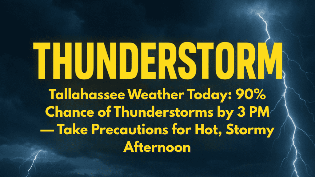
Thunderstorms: A 90% chance of thunderstorms after 3 PM, which may provide brief relief but increase humidity.
Winds: Light winds with gusts around 5 mph, offering little cooling.
Safety Tips:
Avoid Outdoor Activities: Stay indoors during peak heat hours (11:00 AM – 7:00 PM).
Hydration is Key: Drink plenty of water to prevent dehydration and heat-related illnesses.
Travel Caution: If traveling, remain cautious during thunderstorms, which may cause temporary poor visibility and wet roads.
Risk of Heatstroke: If you must be outside, take frequent breaks, wear lightweight clothing, and apply sunscreen.
Extended Five-Day Forecast:
Tuesday, July 22nd: High of 98°F, thunderstorms likely after 3 PM. Low near 79°F.
Wednesday, July 23rd: High of 91°F with a 90% chance of showers and thunderstorms by afternoon.
Thursday, July 24th: High of 89°F, thunderstorms likely in the evening, 80% chance of rain.
Friday, July 25th: High near 91°F, 90% chance of rain with showers and thunderstorms.
Saturday, July 26th: High of 94°F, mostly sunny with a 60% chance of scattered thunderstorms by afternoon.
Stay cool and safe during this extreme heat and the possibility of thunderstorms this afternoon.


