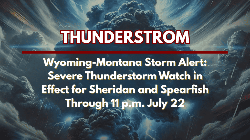
Billings, MT – Severe thunderstorms are expected to impact eastern Montana and northern Wyoming this evening, with a Severe Thunderstorm Watch in effect until 11 p.m. Monday. The watch includes a range of dangerous weather threats, including isolated tornadoes, tennis ball-sized hail, and damaging winds up to 70 mph.
Affected Areas:
Counties Under Watch: Yellowstone, Custer, Dawson, and others.
Cities at Risk: Billings, Glendive, Miles City, Sheridan, and Spearfish.
Hazardous Conditions:
Possible Tornadoes: Isolated tornadoes are a risk, which could cause significant damage.
Wind Gusts: Strong gusts up to 70 mph could down trees and power lines.
Hail: Large tennis ball-sized hail is expected, which may cause damage to vehicles, roofs, crops, and other structures.
Travel Hazards: Travelers on I-94 and I-90 should expect low visibility, slick roads, and the possibility of flooding, as well as an increased risk of power outages and structural damage.
Safety Tips:
Stay Informed: Monitor NOAA Weather Radio, local news, and weather apps for real-time updates.
Secure Outdoor Items: Secure any outdoor items that could become dangerous projectiles in high winds.
Travel Caution: Delay unnecessary travel and avoid driving during the storm, especially on I-94 and I-90, where conditions may worsen quickly.
Seek Shelter: If threatening weather approaches, immediately move to a solid building or a sturdy shelter to avoid exposure to strong winds, hail, and possible tornadoes.
Conclusion:
The Severe Thunderstorm Watch remains in effect until 11 p.m. Monday, with isolated tornadoes, damaging winds, and large hail posing significant risks. Stay tuned to local updates and be ready to seek shelter quickly if conditions worsen.


