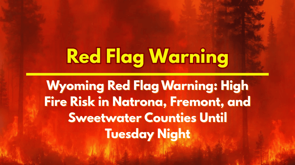
Wyoming is facing elevated wildfire risks this week as a Red Flag Warning remains in effect across several counties, including Natrona, Fremont, Sweetwater, and Uinta. The warning will stay active until 8 p.m. Tuesday, signaling the potential for extreme fire behavior and rapid wildfire spread due to high winds, scorching temperatures, and low humidity levels.
Conditions Driving the Red Flag Warning
The National Weather Service in Riverton reports that gusty southwest winds will blow through fire-prone areas like the Upper Green River Basin, Granite/Green Mountains, and the Casper BLM region. Winds will reach speeds of 15 to 25 mph, with gusts as high as 35 mph.
At the same time, humidity levels will drop to as low as 10 percent in areas like Natrona County and the Wind River Basin, creating ideal conditions for wildfires to spread quickly and uncontrollably.
Impact on Travel and Local Communities
Travelers on major highways like I-25 near Casper and I-80 through Sweetwater and Uinta counties should be aware of the increased risk of wildfires, especially sudden fire starts that could reduce visibility due to blowing smoke.
The National Weather Service warns that the combination of dry conditions, high winds, and low humidity could result in fast-moving fires that may even cause road closures or power outages if the fires ignite in dry brush.
Fire Safety and Precautions
With the wildfire risk so high, local authorities urge residents to avoid activities that could cause sparks or fires, such as outdoor burning or using equipment that might ignite the dry landscape.
It’s also advised to secure trailer chains and have an evacuation plan in place in case of emergencies. If you live in or near fire-prone zones, it’s important to stay prepared for any sudden changes in conditions, including potential evacuations.
Staying Prepared
This Red Flag Warning is the second one in just a week, reflecting conditions similar to those during the historic 2020 fire season. Authorities recommend that residents charge electronic devices, prepare go-bags with essentials, and monitor any alerts issued by the National Weather Service or local emergency management agencies.
The warning remains in effect until 8 p.m. Tuesday, with the possibility of additional advisories if the dry, hot, and windy conditions continue.


