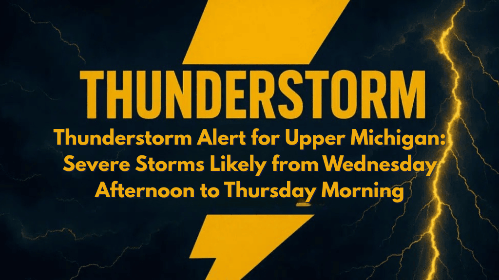
Upper Michigan is bracing for scattered thunderstorms today, Wednesday, with a possibility of isolated severe storms, especially north of the Mackinac Bridge. Gusty winds, heavy rain, and potential power outages are expected to affect northern Michigan through the evening and into early Thursday.
Weather Conditions Wednesday Afternoon to Thursday Morning
According to the National Weather Service in Gaylord, a Level 2 out of 5 risk zone has been issued for parts of the eastern Upper Peninsula and the Tip of the Mitt, including areas such as Sault Ste. Marie, Kinross, St. Ignace, Paradise, and Mackinaw City. The storms will primarily impact the Upper Peninsula from 12 p.m. today until 2 a.m. Thursday. In the northern Lower Peninsula, the storm window will be from 6 p.m. to 2 a.m. Thursday.
The key risks include:
Damaging wind gusts
Localized downpours
Minor power outages
While the chances of tornadoes and hail are low, the storms can still cause brief periods of intense weather. Residents in affected areas should stay alert to weather updates, postpone outdoor activities in the late evening, and be prepared for sudden weather changes.
Impact on Travel
For drivers planning to cross the Mackinac Bridge tonight, caution is advised due to strong winds and reduced visibility. The combination of gusty winds and rain could make driving conditions hazardous, so extra care should be taken.
By Thursday morning, the storm activity will move southeast, but the severe weather risk will decrease significantly across the rest of Michigan.
Northern Michigan’s Five-Day Weather Forecast
Wednesday: Scattered severe thunderstorms, highs in the mid-70s, gusty winds.
Thursday: Lingering showers, cooler with highs in the upper 60s.
Friday: Partly sunny with a chance of light rain, highs near 70°F.
Saturday: Mostly sunny and mild, highs in the mid-70s.
Sunday: Dry and warm, with highs near 80°F.
Upper Michigan is in for a period of thunderstorms this afternoon through early Thursday morning. The storms will bring gusty winds, heavy rain, and localized power outages.
Residents are advised to monitor weather updates and take precautions, especially if traveling across the Mackinac Bridge tonight. After Thursday, the weather will calm down with cooler temperatures and a return to more pleasant conditions.


