Norton, Kansas – Severe thunderstorms are set to impact northwest Kansas this evening, with a Severe Thunderstorm Watch in effect until midnight tonight. The watch, which covers counties from Decatur to Smith, brings threats of high winds, hail, and lightning.
Severe Weather Risk
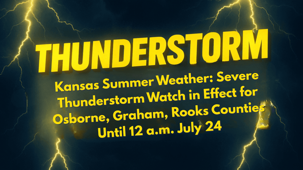
The National Weather Service’s Storm Prediction Center has issued the Severe Thunderstorm Watch for Decatur, Graham, Norton, Osborne, Phillips, Rooks, Sheridan, and Smith counties until 12 a.m. CDT Thursday. The most dangerous conditions are expected between 7 p.m. and midnight, with wind gusts over 60 mph and quarter-sized hail as the main hazards.
Power outages and tree damage are possible, especially along U.S. Route 36 and other major county roads.
What to Expect
Wind Gusts: Over 60 mph, capable of causing significant damage.
Hail: Up to quarter-sized hail could damage vehicles, crops, and outdoor structures.
Lightning: Frequent, strong lightning that may cause power interruptions.
Safety Tips
Local emergency officials urge residents, particularly those in Norton, Smith Center, and Osborne, to take the following precautions:
Secure outdoor items to prevent them from becoming projectiles in strong winds.
Charge phones and other electronic devices in case of power outages.
Stay updated with weather alerts and emergency communications.
Avoid non-essential travel due to poor visibility and the potential for downed power lines.
Rooks County schools and local parks are on alert for possible early closures or delays if storms continue into the night.
The Storm’s Path
This is the most significant summer storm threat so far in the region, with conditions expected to worsen rapidly. Residents are advised to stay indoors during the storm and prepare for additional warnings as storms track eastward toward the affected areas.


