Manchester, NH, is preparing for a hot and stormy weekend as the National Weather Service has issued a Summer Weather Alert for Saturday, July 26th. With extreme temperatures and the possibility of afternoon thunderstorms, the weather will pose challenges for outdoor activities. It’s essential for residents to stay informed and take safety precautions. Here’s what to expect and how to stay safe.
Saturday, July 26th: Scorching Heat and Thunderstorm Risk
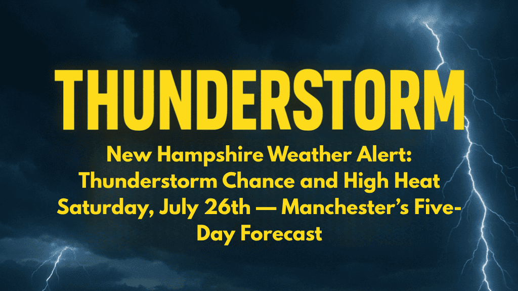
Saturday in Manchester will bring a mix of intense heat and the potential for thunderstorms. High temperatures will reach around 88°F, with a heat index that could feel as high as 99°F due to the humidity. The day will start with mostly sunny skies, but by the afternoon, thunderstorms are likely to develop after 2 p.m. These storms could bring heavy rain, gusty winds, and lightning, so it’s important to stay alert.
For those planning to be outdoors, take necessary precautions such as staying hydrated, wearing light clothing, and limiting physical activity during the peak heat of the day. If you can, seek shade or stay inside during the afternoon storms to reduce your risk of heat-related illness.
Sunday, July 27th: Continued Heat and Mild Night
Sunday will continue with the hot summer pattern, offering partly sunny skies and a high of around 84°F. The overnight temperatures will provide a little relief, dropping to the low 60s and 70s. The humidity will still be high, though, so even with cooler nights, the heat will remain a concern throughout the day.
Monday, July 28th: Heatwave Peaks
Monday will be even hotter, with temperatures soaring to 94°F under mostly sunny skies. This will be the hottest day of the week, and the high heat combined with humidity will make it feel even warmer. If you’re out and about, be sure to take extra care to avoid heat exhaustion or heat stroke.
Tuesday, July 29th: Thunderstorms and Continued Heat
On Tuesday, the forecast calls for a 30% chance of showers and thunderstorms, with a high near 95°F. The storms may offer a brief break from the heat but could bring heavy rain and gusty winds. The high temperatures will continue to make this a dangerous stretch for outdoor activities, so continue to monitor weather alerts and take precautions.
Midweek Outlook: Hot and Humid Conditions Persist
The extended forecast through Friday, August 1st, shows little relief from the heat. Temperatures will stay in the mid-80s to low-90s, with mostly clear or partly cloudy skies during the day and cool nights in the 60s and 70s. While the risk of thunderstorms will decrease, the high heat and humidity will remain, creating uncomfortable and potentially hazardous conditions.
Staying Safe in the Heat
With the extreme heat expected to last throughout the week, it’s important to stay prepared. Monitor local weather updates for real-time alerts, and take steps to keep cool, such as using air conditioning or cooling centers if available. It’s also a good idea to check on vulnerable neighbors, particularly the elderly and those with health conditions, as they are at higher risk for heat-related illnesses.


