Southeast Michigan is facing a weather warning for severe thunderstorms this weekend, with dangerous conditions expected to impact Detroit, Ann Arbor, and other nearby cities on Saturday, July 26th. High humidity and the risk of severe storms will bring heavy rain, strong winds, and lightning to the area. Here’s what you need to know to stay safe.
Saturday, July 26th: Thunderstorms and Heavy Rain Expected
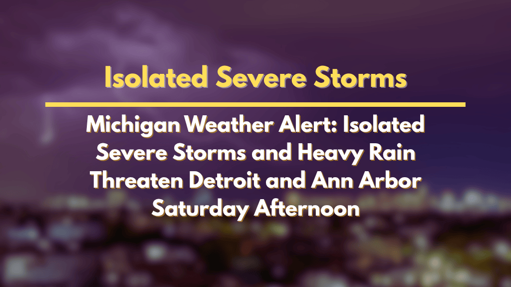
The primary storm threat will begin on Saturday afternoon, starting between 2 p.m. and midnight. Severe thunderstorms are expected to move southwest to northeast at speeds of up to 30 mph. These storms could bring strong wind gusts, dangerous lightning, and heavy rain, particularly south of I-69. Cities including Detroit, Ann Arbor, Howell, and Monroe are most at risk for severe weather and potential isolated flooding.
Temperatures today will rise into the mid-80s across much of the region, with slightly less humidity near the Tri Cities and Thumb. However, as the weekend progresses, humidity will increase, making it feel even hotter. Highs on Sunday are expected to reach close to 90°F, with heat indices climbing even higher, making the storms feel more oppressive.
Thunderstorm Risks: Wind, Lightning, and Flooding
The storms could be capable of locally damaging wind gusts, up to 60 mph, which may cause tree damage and power outages. Lightning is also a significant danger, so residents are advised to avoid outdoor activities during the storm. Additionally, the heavy rainfall may lead to localized flooding, particularly on roads that are already prone to water buildup. This could result in dangerous travel conditions, so drivers should be cautious and avoid flooded areas.
Sunday, July 27th: Hot and Humid with Thunderstorm Chances
By Sunday, temperatures will climb near 90°F, and the humidity will make it feel even hotter. Afternoon and evening thunderstorms are expected to continue across the region, particularly affecting areas like Saginaw, Pontiac, and Port Huron. Sudden downpours and ponding on roads could make driving hazardous. Keep an eye on the weather for real-time updates.
Severe Weather Preparedness
Residents in affected areas should prepare for these storms by securing outdoor items, charging mobile devices, and ensuring they have multiple ways to receive weather warnings. It’s important to monitor local weather alerts and be ready to take action, especially if thunderstorm watches or additional advisories are issued. Since this is the most widespread severe weather risk so far this month, it’s crucial to stay informed and be cautious.


