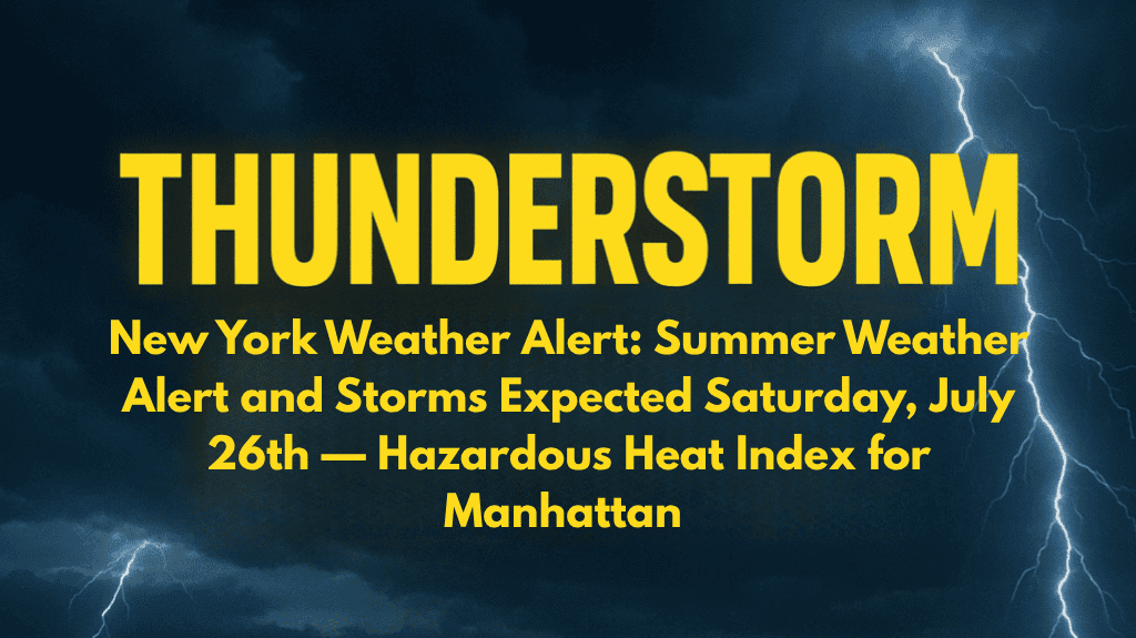
New York City is facing a scorching weekend, with hazardous heat and the chance of severe thunderstorms expected on Saturday, July 26th. The National Weather Service has issued an official Weather Alert for excessive heat and storm risks across the city, including Manhattan. With the combination of high temperatures, humidity, and the possibility of heavy rain, it’s important for residents to take precautions. Here’s a detailed look at the weather and what you need to know to stay safe.
Saturday, July 26th: Hazardous Heat and Thunderstorm Risk
Saturday will be extremely hot, with temperatures reaching a high of 93°F in Manhattan. The heat index, which measures how hot it feels, will climb to nearly 100°F due to the high humidity. Southwest winds may gust up to 20 mph, but they won’t provide much relief from the heat. This dangerous combination of heat and humidity will make outdoor activities risky, especially during the afternoon hours.
Public health officials are urging everyone to stay hydrated, limit outdoor activity, and check on elderly or vulnerable neighbors. If possible, seek air-conditioned spaces or public cooling centers to avoid heat-related illnesses. In addition to the oppressive heat, there is a 60% chance of thunderstorms after 5 p.m. These storms could bring heavy downpours and the risk of localized flooding, so be prepared for sudden weather changes.
Saturday Night: Showers and Storms
The thunderstorms will likely continue into Saturday night, with temperatures cooling to around 79°F. Expect heavy rain and possible flooding as the storms move through. If you need to be outdoors, be cautious of wet and slippery conditions, especially if you’re driving. Make sure to monitor local weather updates throughout the evening to stay informed about the storm’s path.
Sunday, July 27th: A Brief Break from the Heat
Sunday will offer some relief from the extreme heat, with a high of 79°F. However, the chance of showers or thunderstorms before 2 a.m. is still 30%. Skies will be mostly cloudy, and temperatures will dip to around 74°F overnight. While the heat will be less intense, it’s important to stay aware of the potential for sudden storms.
Monday, July 28th: More Pleasant Weather
On Monday, the heat will subside a bit, with a high of 85°F under mostly sunny skies. Monday night will be clear, with a low near 77°F, providing a comfortable evening.
Tuesday, July 29th: Return of Heat
Tuesday will bring slightly warmer temperatures, with a high of 90°F under partly cloudy skies. The night will remain warm, with a low of 77°F. The heat will continue to build through the week, so be prepared for more summer-like conditions.
Midweek Outlook: More Sunshine and Warmth
Wednesday will offer mostly sunny skies with a high of 89°F. There’s a 30% chance of showers later in the evening, with temperatures cooling to around 74°F at night. Thursday will remain warm, with a high of 88°F and partly cloudy skies.
Stay Prepared for Changing Conditions
As the weather continues to fluctuate throughout the week, it’s essential to stay informed. Keep track of local alerts, check on vulnerable neighbors, and be ready to adjust plans if thunderstorms or extreme heat conditions develop. For real-time updates, listen to NOAA Weather Radio or consult the latest city advisories.


