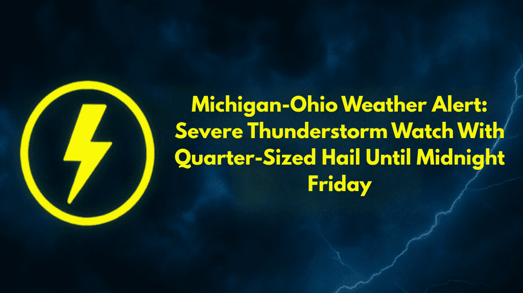
A severe weather alert is in effect for nearly 5.6 million people across southeast Michigan and northwest Ohio, including Detroit and Toledo, as the National Weather Service issues a Thunderstorm Watch until midnight Friday.
The storms sweeping through the region could bring hail, strong winds, and frequent lightning, creating hazardous conditions. Here’s what residents need to know to stay safe.
Severe Storms Impacting Southeast Michigan and Northwest Ohio
The Thunderstorm Watch covers areas from Flint, South Lyon, and Port Huron southward to Ann Arbor, Monroe, Adrian, Toledo, and Bowling Green. This broad watch zone will affect major cities and crucial infrastructure, including schools, hospitals, and major highways like I-75 and I-96. With the potential for severe conditions, nearly 5.6 million residents are being urged to stay alert as storms move through.
The storms could bring isolated quarter-sized hail, wind gusts of up to 65 mph, and frequent lightning. These conditions may lead to rapid weather changes, and residents should be prepared for power outages.
Trees and power lines could be knocked down, especially in the stronger areas of the storm. Drivers may encounter hazardous travel conditions along major roads, particularly during periods of intense rain and wind.
Safety Precautions and Advice
Emergency managers are advising residents to take precautions by securing outdoor items that could become flying debris in strong winds. It’s also recommended to charge mobile devices ahead of possible power outages. If you hear thunder, it’s important to stay indoors to avoid lightning strikes.
Schools, hospitals, and other facilities across the affected areas are being advised to prepare for sudden weather changes, including possible interruptions to power and normal activities. Those who plan to travel should be cautious on roads like I-75 and I-96, as conditions could quickly deteriorate due to the storms.
Storm Watch and Future Warnings
This severe thunderstorm watch is one of the most widespread severe weather threats of the summer. It comes in the wake of last July’s damaging storms and has the potential to cause similar disruptions. The watch remains in effect until midnight, with the possibility of further warnings if the storms intensify.


