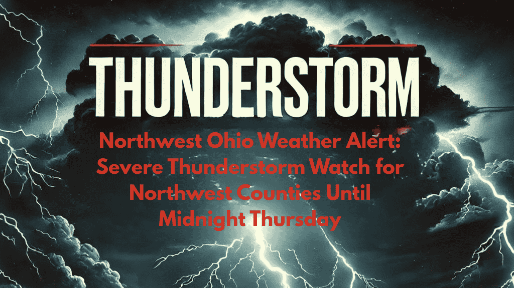
A severe weather alert is in effect for northwest Ohio, with a Severe Thunderstorm Watch issued until midnight tonight. Communities including Toledo, Bowling Green, and surrounding areas should brace for damaging winds, heavy rainfall, and frequent lightning as storms move through the region. This weather system poses significant risks, including potential power outages and hazardous travel conditions. Here’s everything you need to know to stay safe.
Severe Storm Threat for Northwest Ohio
The National Weather Service Storm Prediction Center has issued the watch for Lucas, Wood, Fulton, Ottawa, and Williams counties until 12 a.m. Friday. Thunderstorms are expected to intensify through the evening, bringing winds gusting up to 70 mph, scattered hail, and frequent lightning. The heaviest storms will likely hit between 9 p.m. and midnight, especially along major routes like I-75 and US-20.
Residents in Toledo, Bowling Green, and surrounding areas should expect rapid weather changes, with conditions becoming hazardous very quickly. These storms have the potential to cause significant disruptions, including downed trees, power lines, and localized flooding.
Safety Precautions and Warnings
Emergency officials in Lucas County are advising drivers to avoid travel during the peak storm hours and to be cautious of flooded streets. Wood County Emergency Management is warning about the possibility of downed trees and power lines, which could cause power outages. Ottawa County residents are advised to secure outdoor items and charge mobile devices ahead of any potential outages.
Preparedness is crucial in these conditions—move vehicles away from trees to avoid damage from falling limbs, have flashlights ready, and stay away from windows during the storm. It’s important to stay indoors and keep away from outdoor structures that could be impacted by high winds or lightning.
Tonight’s Weather Threat: A Significant Storm Event
Tonight’s severe weather is expected to be the most significant storm threat of the month for northwest Ohio, with conditions similar to the destructive July 2021 derecho. The storms are forecast to exit by early Friday morning, but the threat remains high until the system clears the area.
Stay Informed
Stay tuned to updates from the National Weather Service and local authorities, as there may be additional alerts or warnings if conditions change. It’s important to remain vigilant, monitor weather alerts, and follow all safety instructions.


