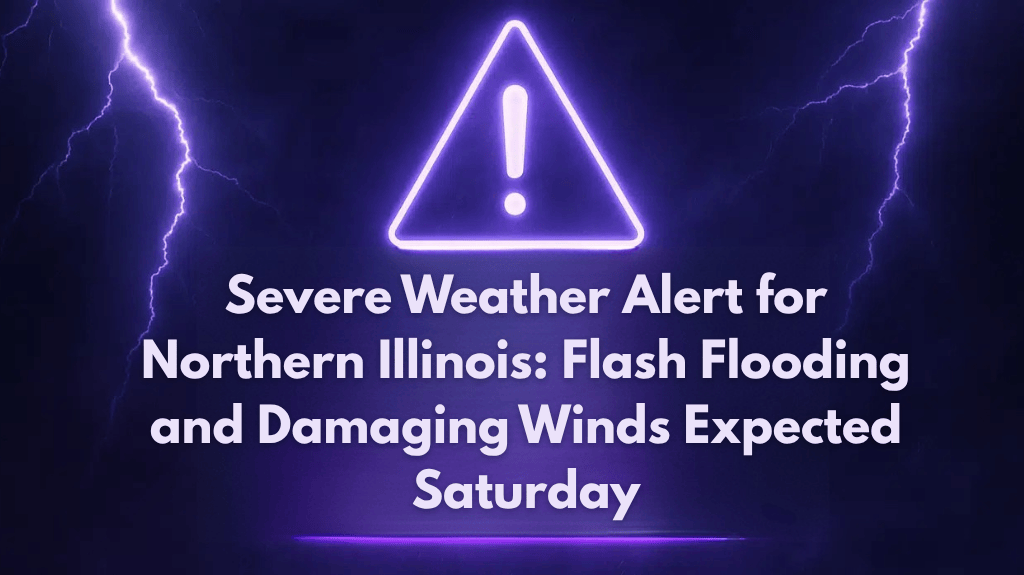
Northern Illinois is bracing for severe storms on Saturday afternoon, with flash flooding and damaging winds set to affect areas along and south of Interstate 80 between 1 p.m. and 8 p.m. The storms are expected to bring torrential rain, potentially flooding roads and low-lying areas, as well as strong winds that could cause power outages and tree damage.
Affected Areas and Timing
The National Weather Service has warned that the greatest risk of severe weather will impact communities from Joliet to Kankakee, including parts of northwest Indiana.
The severe weather is expected to develop in the early afternoon and last until 8 p.m., with heavy downpours leading to flash flooding, especially in areas with poor drainage or fields and basements that are prone to flooding. Wind gusts strong enough to down tree limbs and disrupt power lines are also a concern.
Flooding and Wind Risks
As storms move through the region, flash flooding is the biggest risk. Emergency managers are urging drivers to avoid flooded roads, especially in areas near creeks, rivers, or basements that are prone to flooding. It’s important to stay weather-aware and have multiple ways to receive storm warnings.
Strong winds could lead to fallen tree limbs, power outages, and other dangerous conditions, so residents should ensure their phones and devices are fully charged and have a flashlight on hand in case of power loss.
While the worst of the storms is expected between 1 p.m. and 8 p.m., scattered thunderstorms could linger through the evening, so residents should stay alert if they plan to travel later in the day.
Impact of Recent Weather Conditions
Saturday’s storms follow a week of extreme heat and humidity across northern Illinois, adding to the potential for rapid weather changes.
The ongoing storms may contribute to the flooding risk, with more rounds of rain and storms expected to last into next week. These weather patterns could prolong the risk of flooding and create disruptions in daily activities, including travel delays and power outages.
Five-Day Weather Forecast for Illinois
Tonight: Heavy thunderstorms, flash flooding risk. Lows 69–72°F.
Saturday: Periodic severe storms with damaging winds and flooding. Highs 80–87°F.
Sunday: Storms continue, hot and humid with a heat index of 100–105°F. Highs 88–91°F.
Monday: Very humid with possible storms and a peak heat index of 105–110°F. Highs 91–94°F.
Tuesday: Storms expected, humid. Heat index between 95–105°F. Highs 88–92°F.
Wednesday: Cooler temperatures with periodic storms. Highs 76–81°F.
Northern Illinois is facing a significant weather threat on Saturday, with flash flooding and damaging winds expected along the I-80 corridor from 1 p.m. to 8 p.m. Residents should prepare for rapidly changing conditions, secure outdoor items, and stay informed about storm updates. With more storms possible into next week, it’s important to remain alert and be ready for potential disruptions.


