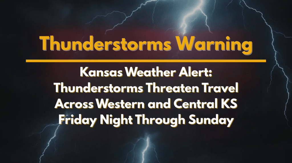
Dodge City, Kansas – Drivers in western and central Kansas should brace for heavy rain and thunderstorms from Friday night through Sunday. Wet roads, rapid changes in rainfall, and potential flooding could cause significant travel disruptions across the state.
According to the National Weather Service in Dodge City, showers and storms are expected to start in far western Kansas on Friday night. The heaviest downpours are expected to move eastward, affecting central and southwest Kansas by Saturday night. Rain totals can vary significantly within short distances, meaning some areas might experience street flooding while others may stay dry.
Saturday Night:
Saturday night will likely bring the most widespread storm activity, particularly across central and southwest Kansas, including areas such as Dodge City, Garden City, Liberal, and Pratt. Travelers on major highways, including US-50, US-54, and US-283, should expect reduced visibility and occasional gusty winds.
Sunday:
By Sunday, thunderstorms will still be possible, with occasional lightning and gusty winds. Some areas could face continued risks of flooding and hazardous driving conditions due to heavy rain.
Important Safety Tips for Travelers:
Monitor road conditions closely throughout the weekend.
Avoid driving through flooded areas to stay safe.
Keep your cell phone charged in case of power outages.
Secure outdoor items to prevent damage from strong winds.
Double-check weekend plans, as sudden downpours could cause changes.
Residents are encouraged to stay updated on weather alerts, as conditions may change rapidly. The storm threat is expected to last through Sunday night, with more updates likely to follow as the situation develops.


