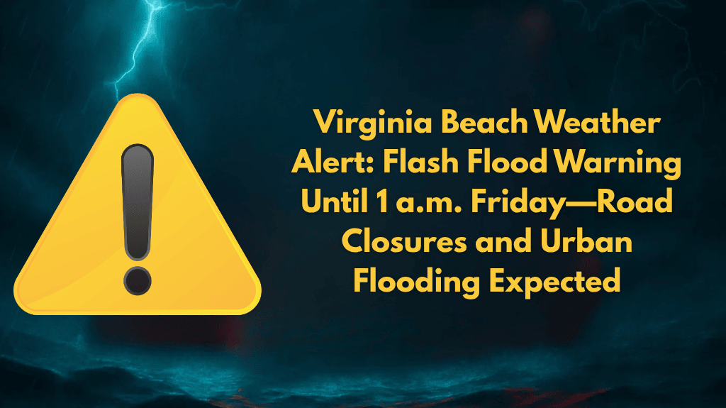
Norfolk, Virginia – Heavy rain and thunderstorms have hit southeastern Virginia, prompting the National Weather Service to issue flash flood warnings through early Friday morning. Areas such as Virginia Beach, Norfolk, Chesapeake, and Newport News are experiencing rising water levels, putting drivers and low-lying neighborhoods at significant risk of flooding.
The National Weather Service in Wakefield reported that intense rainfall, with rates of up to two inches per half hour, began around 9:45 p.m. Thursday. Flash flood warnings are in effect until at least 1 a.m. Friday for Isle of Wight County, Virginia Beach, Chesapeake, Portsmouth, Suffolk, and Norfolk. A separate warning for James City, Surry, York, and Gloucester counties, as well as Newport News and Poquoson, is in place until 11:30 p.m. Thursday.
Flooding is already impacting small creeks, underpasses, and urban roads. High-risk areas include Ocean View, Kempsville, Great Bridge, Fort Eustis, and key university campuses. Many secondary roads and intersections—particularly near Old Dominion University, Regent University, and downtown areas—are rapidly becoming impassable.
Safety Tips for Residents and Travelers:
- Avoid non-essential travel, particularly through areas with known flooding risks.
- Do not attempt to drive through flooded streets—if you encounter water on the road, turn around.
- Charge your devices and move vehicles to higher ground if possible.
- Stay updated on local alerts and be prepared for road closures and detours.
- Remember that nighttime flooding is especially dangerous—be extra cautious when traveling after dark.
Flash flood warnings will remain in effect overnight, and additional advisories may be issued as the storm system moves through. Local emergency managers are monitoring the situation closely and are prepared to issue further updates if conditions worsen. Stay safe and aware of changing weather conditions.


