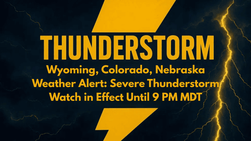
Cheyenne, WY – A Severe Thunderstorm Watch has been issued for southeastern Wyoming, northern Colorado, and western Nebraska today, lasting until 9 p.m. Mountain Daylight Time. Residents in these areas are urged to stay alert as conditions become favorable for severe thunderstorms.
The Storm Prediction Center in Norman, Oklahoma, issued the watch at 3 p.m. MDT Thursday. It covers several counties across the tri-state region, including:
Wyoming: Albany, Goshen, Laramie, and Platte
Colorado: Larimer, Morgan, and Weld
Nebraska: Banner, Kimball, and Scotts Bluff
This watch means that severe thunderstorms are possible and could bring damaging winds, large hail, and frequent lightning. The National Weather Service is closely monitoring radar data, especially in the Front Range and High Plains areas, where storms could intensify.
What to Expect:
Severe Thunderstorms: Damaging winds and hail are possible.
Frequent Lightning: The risk of lightning strikes is high, especially in open areas.
Travel and Outdoor Safety: Seek shelter immediately if you hear thunder and avoid open spaces where lightning is a risk.
Emergency officials are advising residents to stay tuned to local radio, NOAA weather radio, or trusted weather apps for updates. The watch expires at 9 p.m., but extensions or updates may be issued depending on storm development.
Stay safe, stay informed, and be prepared for rapidly changing weather conditions.