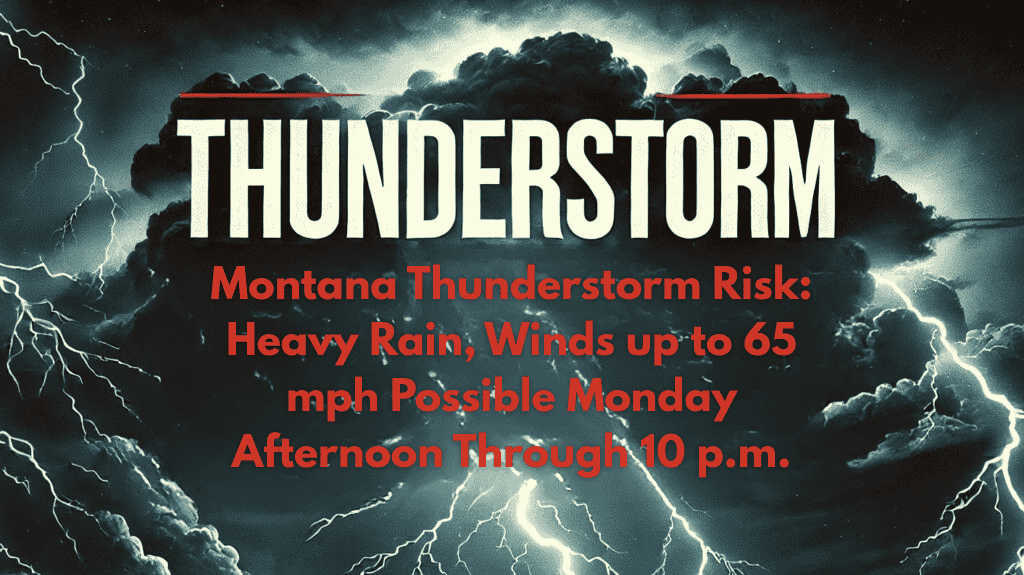
Billings, Montana – Isolated severe thunderstorms are expected to develop across central and eastern Montana on Monday, August 7th, between 2 p.m. and 10 p.m.. These storms could bring heavy rain and strong winds with gusts up to 65 mph, particularly in areas east of Billings toward Miles City and Glendive.
🌩️ Storm Threats: What to Expect
According to the National Weather Service in Billings, Monday’s storm threat is higher than recent days, with scattered thunderstorms likely to develop during the afternoon and early evening hours. The main hazards include:
Localized downpours that could lead to brief flash flooding
Damaging wind gusts reaching 65 mph that could cause downed tree limbs and power outages
While large hail and tornadoes are not expected, the heavy rain and strong winds may briefly disrupt travel or outdoor activities.
🚗 Travel Impact: Watch for Low Visibility
Residents are urged to stay weather-aware, particularly if you are heading outdoors later in the day. Outdoor events may need to be moved indoors on short notice due to the storm risk.
Drivers should be cautious, especially on highways like I-94 and US-212, where heavy rain and low visibility could make travel hazardous. Sudden downpours could quickly reduce visibility, making it difficult to drive safely.
🏡 Stay Prepared
Have a reliable way to receive weather alerts, like a weather app or NOAA weather radio, especially if you plan to be outside.
Secure outdoor items that could be blown away by strong winds.
Check local forecasts for updates, as additional advisories could be issued if the storm threat increases.
🌤️ Storm Outlook: Diminishing by Late Evening
The risk for severe weather is expected to diminish by late evening as the storms move east of the region. However, monitor the forecast for any updates or new advisories as conditions can change quickly.
🌧️ Five-Day Forecast for Billings and Surrounding Areas
Monday, August 7:
High: 87°F | Low: 65°F
Isolated severe thunderstorms expected from 2 p.m. to 10 p.m.
Hazards: Heavy rain, wind gusts up to 65 mph, localized flooding
Tuesday, August 8:
High: 90°F | Low: 67°F
Partly cloudy, no storms expected
Wednesday, August 9:
High: 91°F | Low: 69°F
Sunny, dry conditions with warm temperatures
Thursday, August 10:
High: 88°F | Low: 66°F
A few clouds, no rain expected
Friday, August 11:
High: 85°F | Low: 64°F
Partly cloudy, mild temperatures
📝 Final Thoughts
Billings and eastern Montana will experience a higher threat of severe thunderstorms on Monday afternoon and evening. Heavy rain and damaging winds are the main concerns, with travel disruptions possible. Stay weather-ready, and be prepared for sudden changes in conditions. The risk will diminish late in the evening, but stay updated on any changes as the storm threat progresses.


