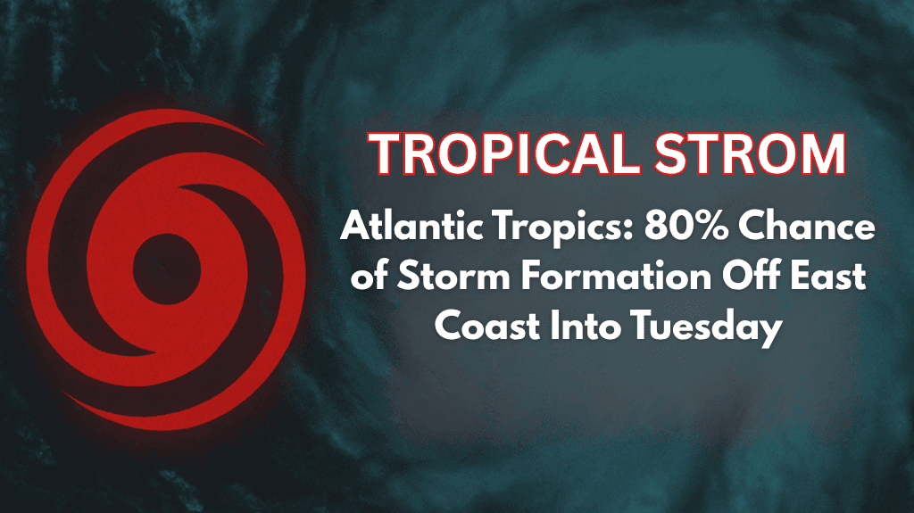
Raleigh, North Carolina – A fast-developing tropical system, currently designated as Invest 95L, is tracking off the North Carolina coast, and the National Hurricane Center is forecasting an 80% chance of it becoming a tropical storm within the next 24 hours.
While direct impacts to the Carolinas remain uncertain, coastal communities are being urged to stay prepared for rip currents, rough surf, and heavy rain starting Monday night through Tuesday.
🌪️ What’s Happening: Tropical System Development
The tropical disturbance is located several hundred miles east of the state, with conditions rapidly becoming favorable for tropical development. The system is expected to remain offshore but could still bring significant effects to the coast. Although it is not expected to make landfall, beaches from Cape Hatteras to Myrtle Beach may experience strong rip currents, rough surf, and periods of heavy rain.
🌊 Coastal Impacts: Rip Currents and Rough Surf
Emergency managers urge swimmers and boaters to exercise extreme caution along the coast. Strong rip currents and high surf are likely, with minor coastal flooding possible, particularly during high tide. Beachgoers should stay informed and heed local advisories to ensure safety.
In addition to hazardous conditions at the shore, spotty downpours and breezy conditions could reach areas farther inland, including the Triangle and Sandhills regions, although widespread impacts inland are not expected.
🚤 Caution for Boat and Beachgoers
Boaters are strongly encouraged to monitor marine advisories and be ready to take shelter if necessary. The combination of high surf and rip currents could make ocean conditions dangerous, so boaters and swimmers should keep safety a top priority.
🏠 How to Stay Prepared
Keep devices charged and check for frequent updates from local weather services.
Monitor local advisories as new alerts may be issued with little notice.
Stay up to date on the system’s movement, especially if there are any shifts in the storm’s track that could increase the threat to the coast.
🌧️ Five-Day Forecast for Raleigh and Coastal Areas
| Day & Date | Weather Summary | High / Low (°F) | Additional Details |
|---|---|---|---|
| Monday, August 7 | Tropical system approaching coast; risk of rip currents | 86°F / 72°F | High surf at beaches; spotty inland downpours possible |
| Tuesday, August 8 | Continued offshore impacts; rough surf, coastal flooding | 87°F / 73°F | Breezy inland; little rain expected |
| Wednesday, August 9 | Mostly sunny with slight shower chance | 88°F / 74°F | Light rain possible, generally dry |
| Thursday, August 10 | Clear skies, mild temperatures | 89°F / 75°F | Calm and pleasant day |
| Friday, August 11 | Sunny and warm, no significant weather | 90°F / 76°F | Ideal outdoor conditions |
📝 Final Thoughts
The tropical system off the coast is developing quickly, and while it’s expected to stay offshore, beaches from Cape Hatteras to Myrtle Beach should prepare for high surf, rip currents, and heavy rain starting Monday night. While inland areas like Raleigh may see only spotty showers, it’s important to stay updated, especially if you live near the coast. Monitor local advisories closely and stay safe through the week as the situation develops.


