Grand Forks, North Dakota – Damaging winds and scattered severe thunderstorms are expected to threaten communities across western North Dakota and eastern Montana Thursday evening, continuing into the overnight hours.
The National Weather Service in Grand Forks warns of a high risk for severe weather stretching from Williston to Valley City, with the potential for damaging winds, large hail, and tornadoes.
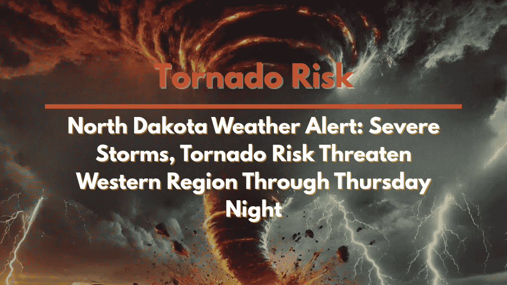
🌪️ What to Expect: Wind, Hail, and Tornado Risk
Storms are likely to form in eastern Montana and western North Dakota by late Thursday afternoon, intensifying into the evening. The primary threats include:
Wind gusts over 75 mph, which could cause downed trees, power lines, and hazardous travel conditions, especially along I-94 and other major routes.
Hail up to golf ball size, which could damage vehicles, roofs, and crops.
While high winds remain the main concern, isolated tornadoes are also a possibility.
The severe weather will primarily impact Grand Forks, Minot, Bismarck, and Fargo, with the threat extending into Thursday night.
🚗 Travel and Safety Concerns
Residents are urged to stay weather-aware as high winds and hail could create difficult travel conditions along I-94 and other major highways. If you’re on the road, be prepared for sudden heavy rain, reduced visibility, and debris on the roads. Avoid unnecessary travel once storms develop.
Preparedness Tips:
Secure outdoor items that could be blown away by strong winds.
Charge mobile devices and ensure you have multiple ways to receive weather alerts overnight, such as weather radios and smartphone notifications.
Prepare for power outages and have flashlights and backup power available.
Know where to take shelter in case of tornado warnings, especially if you’re in a mobile home or other vulnerable structures.
⏳ Timing and Outlook
Severe weather is expected to develop by late Thursday afternoon and continue through the overnight hours into early Friday. As the storm system moves east, additional watches and warnings may be issued. Stay alert to changing conditions.
🌡️ Five-Day Forecast for Grand Forks, ND
Thursday, August 10:
Severe thunderstorms likely, high 85°F / low 65°F
Wind gusts over 75 mph, hail, and tornado risk through the night
Friday, August 11:
Partly sunny, high 82°F / low 63°F
Storms end in the morning, cooler weather follows
Saturday, August 12:
Sunny, high 83°F / low 65°F
Calmer weather with clear skies
Sunday, August 13:
Mostly sunny, high 85°F / low 66°F
Dry conditions with temperatures in the mid-80s
Monday, August 14:
Partly cloudy, high 87°F / low 68°F
Mild conditions as the week begins


