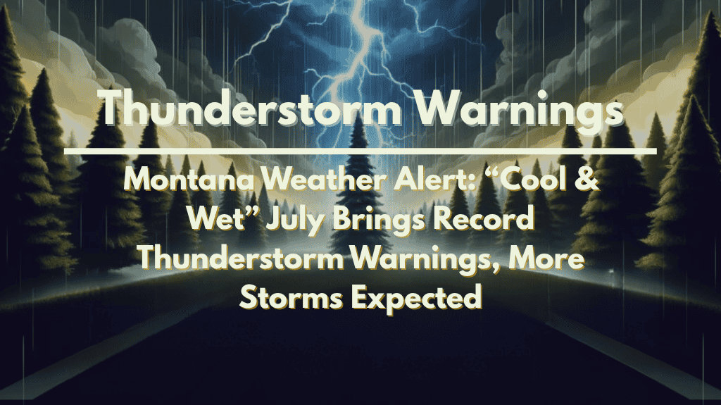
Billings, MT – Montana residents have experienced an unusually cooler and wetter second half of July, with frequent thunderstorms and elevated humidity across much of the state. According to the US National Weather Service in Billings, this persistent weather pattern has led to the most active July thunderstorm season in recent memory, and more storms are expected for today.
🌧️ What’s Causing the Storms?
From July 15 to 31, a weak low-pressure system over the Pacific Northwest and the northern Rockies combined with weaker high pressure to the east. This resulted in a consistent flow of moisture-laden air into the northern plains and Rockies, leading to above-average precipitation and noticeably humid conditions across Montana and neighboring states.
⚡ Record Thunderstorm Activity
The US National Weather Service issued a record 98 Severe Thunderstorm Warnings during the latter half of July, the highest number observed for this period in recent memory. Billings, in particular, recorded its coolest July since 2010. Meteorologists attribute the spike in thunderstorm activity to a southwest flow aloft, which delivered frequent storms and slightly cooler-than-average temperatures.
🌞 The Impact of the Weather Pattern
Elsewhere, this weather pattern produced very humid conditions east of the Rocky Mountains, while the Four Corners region experienced a suppressed and drier monsoon season. The humidity and precipitation anomalies confirm the above-normal moisture levels in Montana, while the Southwest has seen well below-normal rainfall.
⚠️ Storms Expected to Continue
Storms are expected to continue today, with the possibility of severe weather including strong winds, hail, and lightning. Residents should remain alert for weather updates and any potential warnings.
🌡️ Weather Outlook for the Next Few Days
As this unusual weather pattern continues, Montana can expect more storm activity, along with cooler-than-usual temperatures and humid conditions. These trends are likely to persist for at least the next few days.
🌤️ Five-Day Forecast for Billings, MT
Thursday, August 10:
Scattered thunderstorms likely, high 74°F / low 58°F
Persistent storms and humid conditions
Friday, August 11:
Partly sunny, high 77°F / low 59°F
Drier weather expected but still humid
Saturday, August 12:
Mostly sunny, high 80°F / low 60°F
Temperatures starting to warm up but still humid
Sunday, August 13:
Mostly sunny, high 83°F / low 62°F
Continued warm conditions
Monday, August 14:
Partly cloudy, high 85°F / low 64°F
Warmer conditions with a slight chance of storms


