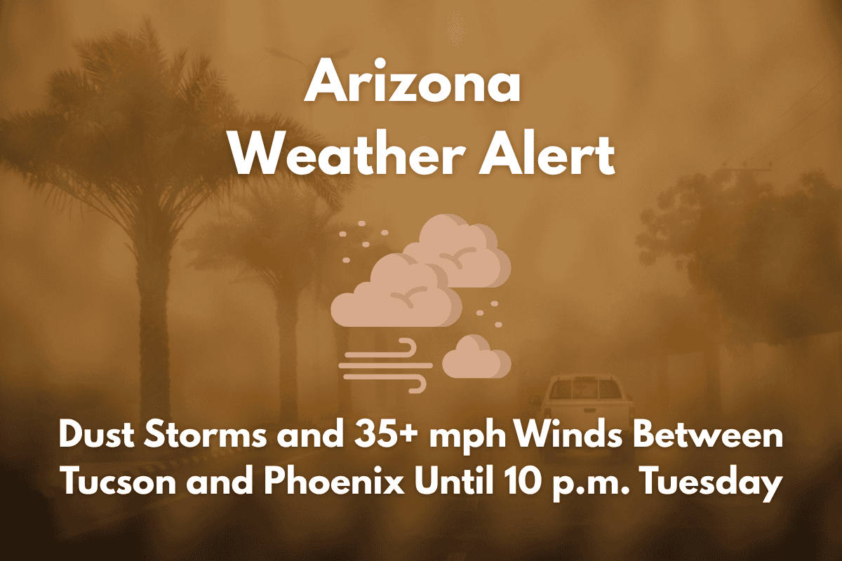
Drivers traveling between Tucson and Phoenix should be prepared for hazardous driving conditions this Tuesday evening, as dust storms and strong winds are expected to affect major highways like I-10. The National Weather Service has issued an alert for gusty winds and reduced visibility through 10 p.m. on Tuesday, especially between 5 p.m. and 10 p.m.
Dust Storms and Hazardous Conditions on the Road
The strong east winds, which may exceed 35 mph, will push dust into the south-central Arizona area, including Phoenix and northern Pinal County. While rain chances remain low (less than 20%), the wind conditions are ideal for creating blowing dust, especially in lower-elevation areas. Phoenix could see hazy skies and dust accumulation, particularly south of the city.
Risk to Drivers and Travelers
The highest risk period for reduced visibility and sudden road hazards will occur between 5 p.m. and 10 p.m. Tuesday. Commuters and travelers should consider delaying their trips or exercising caution when driving, particularly on east-west roadways. Blowing dust may also impact flight operations and disrupt outdoor activities.
High Temperatures and Storms in Arizona
This dust storm follows a stretch of near-record heat, with temperatures reaching 109–114°F in lower desert communities on Tuesday. While rain is unlikely, gusty winds and isolated storms are expected to persist through Thursday. The hot and dry weather will continue, with drier conditions expected for the Fourth of July weekend.
Key Weather Outlook
| Day | Weather | High Temperature | Additional Information |
|---|---|---|---|
| Tuesday (July 1) | Gusty winds and blowing dust | 109–114°F | Winds strongest between 5–10 p.m. |
| Wednesday (July 2) | Winds continue, slight chance of isolated storms | Low 110s | – |
| Thursday (July 3) | Continued windy conditions, near-record heat | 110°F | – |
| Friday (July 4) | Dry and hot with clear skies | 107°F | – |


