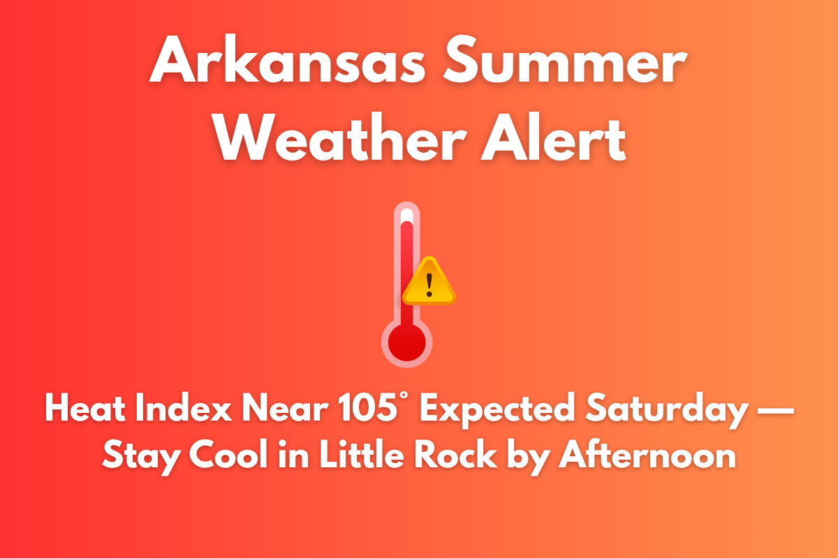
A dangerous heat wave is set to hit central Arkansas on Saturday, with heat index values expected to soar near 105°F, threatening outdoor activities and travel. The extreme heat comes after a summer weather alert that remains in effect through 9 p.m. Friday, June 27, and continues through the weekend.
Timing and Temperature
According to the National Weather Service in Little Rock, Saturday will begin partly sunny, but temperatures will climb quickly. The heat index will surpass 100°F by midday, and it could reach 105°F from Little Rock to Batesville and along the I-30 and I-40 corridors. This intense heat will make outdoor activities dangerous, especially in areas with limited shade or cooling options.
Thunderstorms and Storm Risks
Scattered thunderstorms are expected to develop by 1 p.m., particularly affecting Pulaski, Faulkner, and Saline counties. These storms may bring gusty winds, heavy rain, and potentially localized flash flooding. Southwest winds of around 5 mph will offer little relief from the heat. These storms could provide some temporary cooling but will not eliminate the overall risk of heat-related illnesses.
Safety Tips
Residents should take the following precautions:
Drink plenty of water and avoid alcoholic or caffeinated drinks.
Limit outdoor activities, especially during the hottest part of the day, which is between noon and 5 p.m..
Check on vulnerable neighbors, particularly the elderly and those with medical conditions.
Take frequent breaks in shaded or air-conditioned areas if working outside.
If you or someone you are with shows symptoms of heat stroke (such as dizziness, confusion, or nausea), call 911 immediately.
Extended Forecast
While the heat persists into the weekend, thunderstorms could offer brief relief, with storms possibly limiting the heat index values to below 105°F. Flash flooding remains a concern through Sunday and Monday, especially if storms stall.
5-Day Arkansas Forecast (June 27–July 2)
| Day | Weather | High Temperature | Additional Information |
|---|---|---|---|
| Friday (Today) | Slight chance of storms after 1 p.m. | 97°F | Heat index up to 111°F |
| Saturday | Afternoon storms likely | 94°F | Heat index up to 105°F, 40% chance |
| Sunday | 40% chance of storms late in the day | 92°F | – |
| Monday | Showers and storms likely, gusty winds possible | 92°F | 60% chance of storms |
| Tuesday (July 2) | 50% chance of storms, cooling trend begins | 90°F | – |


