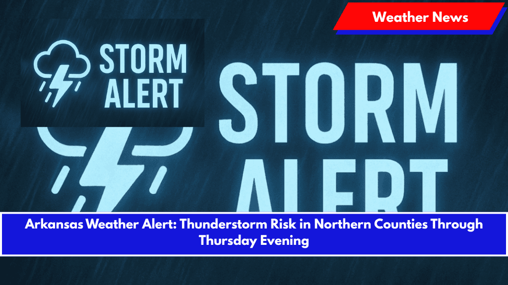
Little Rock, Ark. – Parts of northern Arkansas could experience scattered thunderstorms through Thursday evening, with much of the state seeing hot and humid conditions.
According to the National Weather Service in Little Rock, the greatest chance for showers and thunderstorms will remain across the northern tier of the state through Thursday night.
Temperatures this morning dipped into the mid-60s to low 70s, but highs will climb to 86°F to 92°F by late afternoon, with El Dorado and Monticello among the warmest spots, reaching 92°F and 90°F, respectively.
Key Areas of Concern:
- Highest Rain Chances: Fayetteville, Harrison, and Mountain View will experience the highest rain chances, with some areas north of I-40 seeing precipitation probabilities topping 65%.
- Weather Risks: While widespread severe weather isn’t expected today, the northern counties could see brief heavy rain and localized flooding during thunderstorms.
Weekend Outlook:
- Friday and Saturday: A broader risk of strong to severe storms is expected across central and southern Arkansas.
- Travel Impacts: Travelers should be cautious of slick roads during downpours, especially in higher elevation areas like the Ozarks.
Safety Tips:
- Stay Weather-Aware: Monitor updates throughout the day and be prepared for rapidly changing weather conditions.
- Secure Outdoor Items: With thunderstorms expected, make sure to secure any loose outdoor items that could be blown around by gusty winds.
- Prepare for Disruptions: Outdoor plans may be disrupted by rain or storms, so have an indoor backup plan in place.
Looking Ahead:
Storm chances will taper off by Thursday night, but the active weather pattern is expected to continue into the weekend. Additional alerts and updates may be issued if storm activity intensifies.


