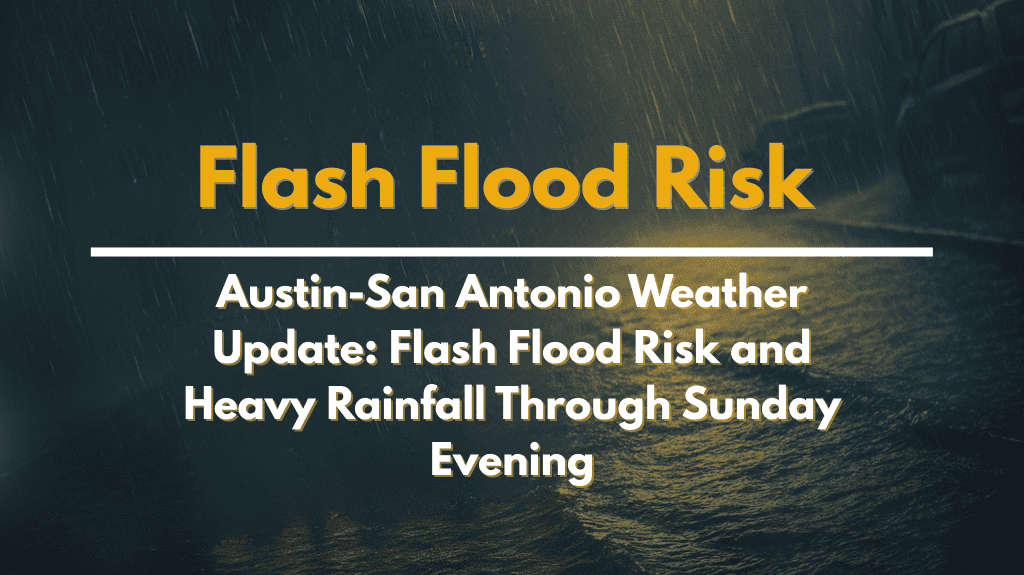
Austin, Texas – Flash flooding remains a threat for parts of South Central Texas through Sunday evening, as an upper-level disturbance brings heavy rain to the region.
According to the National Weather Service in Austin-San Antonio, northern counties such as Burnet, Llano, Mason, and San Saba may receive between 1 and 3 inches of rain from Saturday evening through late Sunday.
A Level 2 risk of excessive rainfall is in place for much of the Hill Country, making flash flooding possible, especially in low-lying and poorly drained areas.
Heavy rain is likely to affect travel along major routes like U.S. Highway 281, I-35 north of Austin, and rural roads near rivers and creeks.
Residents are advised to avoid low water crossings and make sure they have multiple ways to receive weather warnings. Outdoor activities like camping and boating should be reconsidered or closely monitored due to changing weather conditions.
Urban areas, including Georgetown, Round Rock, and Killeen, may also experience issues with drainage systems as brief but intense downpours overwhelm stormwater infrastructure.
While rain chances are expected to decrease by late Sunday, isolated showers could linger. Additional updates or advisories may be issued if rainfall rates increase.


