A slow-moving storm system is set to bring soaking rains to Northern California from late Sunday through Wednesday, raising the risk of localized flooding and travel delays—especially along the coast and in mountainous areas. With rainfall totals possibly exceeding 2 inches in some locations, communities across the Humboldt, Del Norte, and Trinity counties should start preparing now.
Rainy Days Ahead for Coastal and Inland Areas
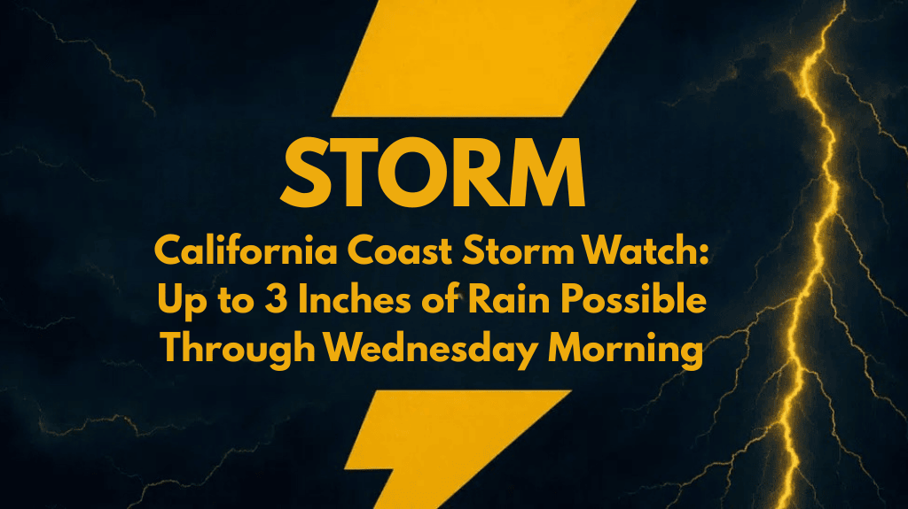
According to the National Weather Service in Eureka, most areas are expected to receive 1 to 3 inches of rain over the 72-hour period. There’s a 75% chance that most places will get at least an inch, while there’s a 25% chance of seeing well over 2 inches, especially if the system slows down or shifts inland.
The heaviest rainfall is likely to occur:
Along the coastline
In higher elevations and forested terrain
Between Monday and Tuesday, when downpours will be most intense
Areas Most at Risk:
Humboldt County
Del Norte County
Trinity County
Crescent City to Eureka corridor
Be Flood-Ready: Small Streams Could Rise Quickly
Because the rain will fall steadily over several days, runoff into streams and rivers is a concern—especially in low-lying or flood-prone areas. Minor flooding is possible, particularly where storm drains are blocked or terrain funnels water quickly.
Local officials advise residents to:
Clear gutters and storm drains
Stay updated with local forecasts and river level alerts
Avoid flooded roads, even if water seems shallow
Allow extra travel time on routes like U.S. Highway 101 and rural roads, where standing water may slow traffic
Rain Timeline: What to Expect Each Day
| Day | Conditions | Rainfall Outlook |
|---|---|---|
| Sunday PM | Rain begins late | Light to moderate |
| Monday | Periods of heavy rain likely | 1–2 inches possible |
| Tuesday | Continued rain, possible downpours | Additional 1 inch+ |
| Wednesday | Showers taper off by midday | Light scattered rain |
Higher Rain Totals Could Worsen Impact
Forecasters note that if the storm tracks inland more directly, rainfall totals could climb even higher—possibly leading to more widespread impacts. While no major flood warnings are in place yet, watches or advisories may be issued if the system intensifies.
How to Prepare
Here are a few simple steps you can take before the rain arrives:
Check drainage around your home
Move outdoor furniture or tools away from flood-prone areas
Have sandbags ready if you live in a flood-risk zone
Limit driving during periods of heavy rain, especially at night
This slow-moving storm system might not bring dangerous winds or severe weather, but its steady, soaking rain could still cause problems for Northern California communities. With rainfall totals potentially topping 2 inches, now is the time to get ahead of the weather—by clearing drains, staying informed, and planning your travel carefully. The rain may linger through midweek, but clearer skies should return by late Wednesday.


