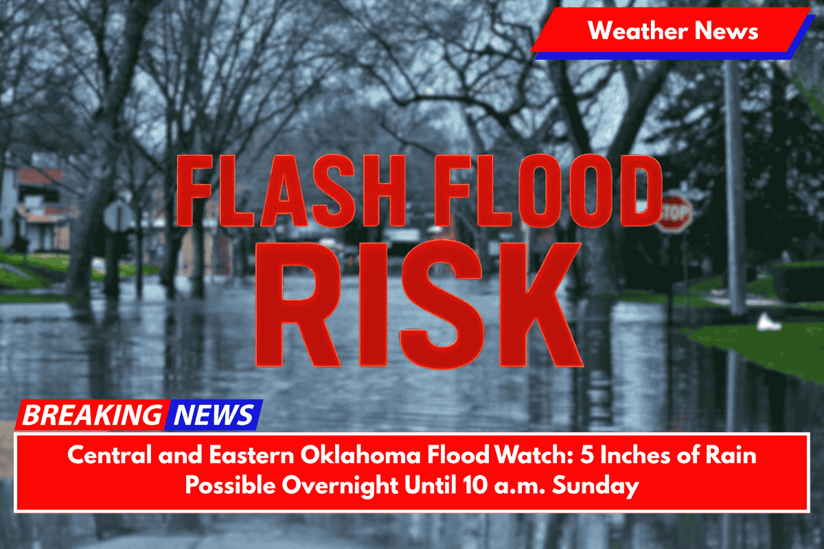
Oklahoma City, OK – Central and northern Oklahoma are under a flood watch as heavy thunderstorms bring up to 5 inches of rain overnight, creating dangerous flooding conditions that could persist through Sunday morning.
Flood Watch in Effect for Central and Eastern Oklahoma
The National Weather Service in Norman and Tulsa has issued a flood watch from 7 p.m. Saturday until 10 a.m. Sunday for several counties in central and eastern Oklahoma.
This includes areas such as Oklahoma City, Tulsa, Enid, and Stillwater. Heavy rainfall from thunderstorms is expected to produce totals ranging from 1 to 3 inches, with isolated areas possibly receiving 3 to 5+ inches.
The flood watch covers counties including Oklahoma, Canadian, Payne, Tulsa, Osage, Creek, and Lincoln, among others. Flash flooding could occur in low-lying areas, small streams, and urban streets, particularly in locations with poor drainage. Major roads, including I-35, I-40, and the Turner Turnpike, are at risk of flooding.
Safety Precautions for the Flood Watch
Residents are urged to take the following precautions:
- Avoid driving through water-covered roads, as just a few inches of water can cause vehicles to stall or float.
- Monitor weather alerts closely, as additional flood advisories may be issued if conditions worsen.
- Charge devices now in case of power outages, and ensure you have flashlights and batteries available.
- Prepare to shelter in place if roads become impassable or flooding conditions worsen.
Thunderstorms Continue Through the Night
Thunderstorms will continue to move southeast throughout the evening and into the early morning hours. Heavy rain is expected to be the primary threat, but additional flooding is likely as conditions change rapidly.
The flood watch will remain in effect until 10 a.m. Sunday, and residents are advised to stay alert to any updates from local authorities.


