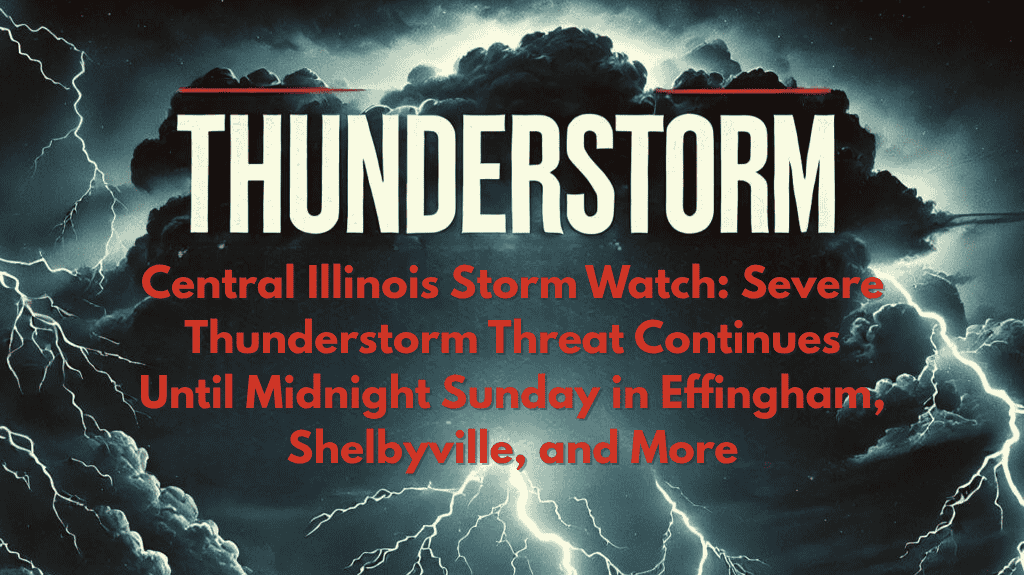
Effingham, IL – Severe thunderstorms are affecting Central and East Central Illinois tonight, with a Severe Thunderstorm Watch in effect for nine counties, including Effingham, Shelby, and Lawrence, until midnight Sunday. Residents from Shelbyville to Lawrenceville could experience strong winds, heavy rain, and the possibility of damaging hail through the late evening.
Affected Areas:
Counties Under Threat: Shelby, Clark, Cumberland, Clay, Crawford, Effingham, Jasper, Lawrence, and Richland counties.
Cities at Risk: Flora, Marshall, Newton, Olney, Robinson, and Greenup.
Hazardous Conditions:
Winds: Strong winds that could cause damage to trees, power lines, and outdoor structures.
Hail: Risk of damaging hail that may affect vehicles, crops, and property.
Heavy Rain: Likely to lead to localized flooding, particularly in low-lying or flood-prone areas.
Travel Hazards: Rural highways such as U.S. Route 40 and Illinois Route 33 could see poor visibility due to heavy rain and blowing debris, making travel dangerous.
Safety Tips:
Travel Caution: Avoid traveling if possible, particularly on rural roads, and exercise caution on highways.
Secure Outdoor Items: Bring in or secure loose outdoor items that could become projectiles in high winds.
Prepare for Power Outages: Keep flashlights and extra batteries handy, as power outages are possible.
Flooding Risks: Be cautious of standing water, especially in flood-prone areas.
Conclusion:
The Severe Thunderstorm Watch remains in effect until midnight Sunday. Additional alerts may be issued if storm conditions worsen overnight. Stay alert, monitor local weather updates, and be prepared to take shelter quickly if warnings are issued.


