Springfield, Ill. – Central and Southeast Illinois will experience summer-like warmth through the middle of the week, but residents should be prepared for a higher chance of thunderstorms, particularly on Wednesday afternoon, with severe weather still a possibility.
Warm Weather Through Midweek
According to the National Weather Service in Lincoln, temperatures will climb into the mid to upper 80s through Thursday, with Tuesday expected to reach near 90°F in some areas. While Monday and Thursday will have minimal rain chances (around 20%), drivers should be aware that pop-up showers are still possible during peak heating hours.
Thunderstorm Risk on Wednesday
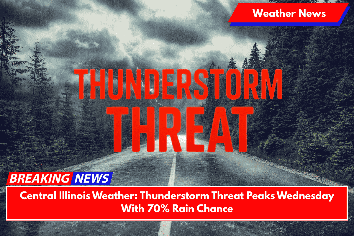
The weather will take a more unsettled turn by Wednesday, when a 70% chance of thunderstorms will develop, bringing the highest risk for lightning, heavy rain, and possible wind gusts. Areas like Peoria, Decatur, and Champaign are expected to see the greatest impact. Localized downpours could affect afternoon and evening commutes, especially on I-55 and I-72, so it’s important to stay cautious while traveling.
Heat Safety for Outdoor Activities
With the heat continuing, outdoor workers and event planners should take heat safety precautions early in the week, especially on Tuesday when heat index values could exceed 90°F. It’s important to stay hydrated and take breaks in the shade to avoid heat-related illnesses.
Thursday and Beyond
By Thursday night, the storms should clear, but more summer-like weather patterns are expected to return by the weekend. While the heat will subside slightly, the chance for afternoon storms could remain, so residents should continue to monitor weather updates.
Central Illinois Five-Day Forecast:
- Monday: Mostly sunny, minimal rain chance (20%). High near 85°F, Low near 65°F.
- Tuesday: Partly cloudy, near 90°F. Minimal rain chance (20%).
- Wednesday: 70% chance of thunderstorms, primarily after 2 p.m. High near 87°F, Low near 68°F.
- Thursday: Partly cloudy, clearing after storms. High near 85°F, Low near 67°F.
- Friday: Mostly sunny, with a chance of afternoon storms. High near 86°F, Low near 68°F.
Central Illinois will experience a hot and stormy week, with the highest chance of thunderstorms on Wednesday. The storms may cause disruptions, particularly during the evening commute, and residents should be prepared for heat on Tuesday.
Keep an eye on weather alerts, especially if you have outdoor plans. After Wednesday’s storms, conditions should improve, though summer weather will likely return by the weekend.


