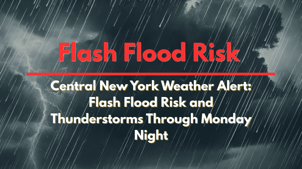
Binghamton, N.Y. – Central New York is set to experience gusty thunderstorms and torrential downpours from Sunday morning through late Monday, with officials warning of potential flash flooding across multiple counties.
According to the National Weather Service in Binghamton, a Heat Advisory remains in effect for Broome, Onondaga, and surrounding counties until 7 p.m. Saturday.
The main weather threat begins Sunday, as slow-moving thunderstorms bring heavy rain and locally damaging wind gusts to cities like Syracuse, Ithaca, Binghamton, and Utica.
Forecasters expect the risk for isolated to scattered flash flooding to rise, especially in flood-prone areas, low-lying regions, and near small streams.
Drivers on major routes like Interstate 81, Route 17, and local roads should prepare for sudden ponding and reduced visibility during heavy downpours. Residents of Sullivan, Delaware, Otsego, and Cortland counties are advised to remain alert for rapidly changing weather conditions.
Emergency management agencies recommend avoiding flooded roads, keeping mobile devices charged, and checking on neighbors—especially those without air conditioning as the heat persists through Saturday.
Storm spotters are encouraged to report any severe weather to the National Weather Service. Showers and thunderstorms may continue into early Tuesday, with further weather advisories possible if conditions worsen.


