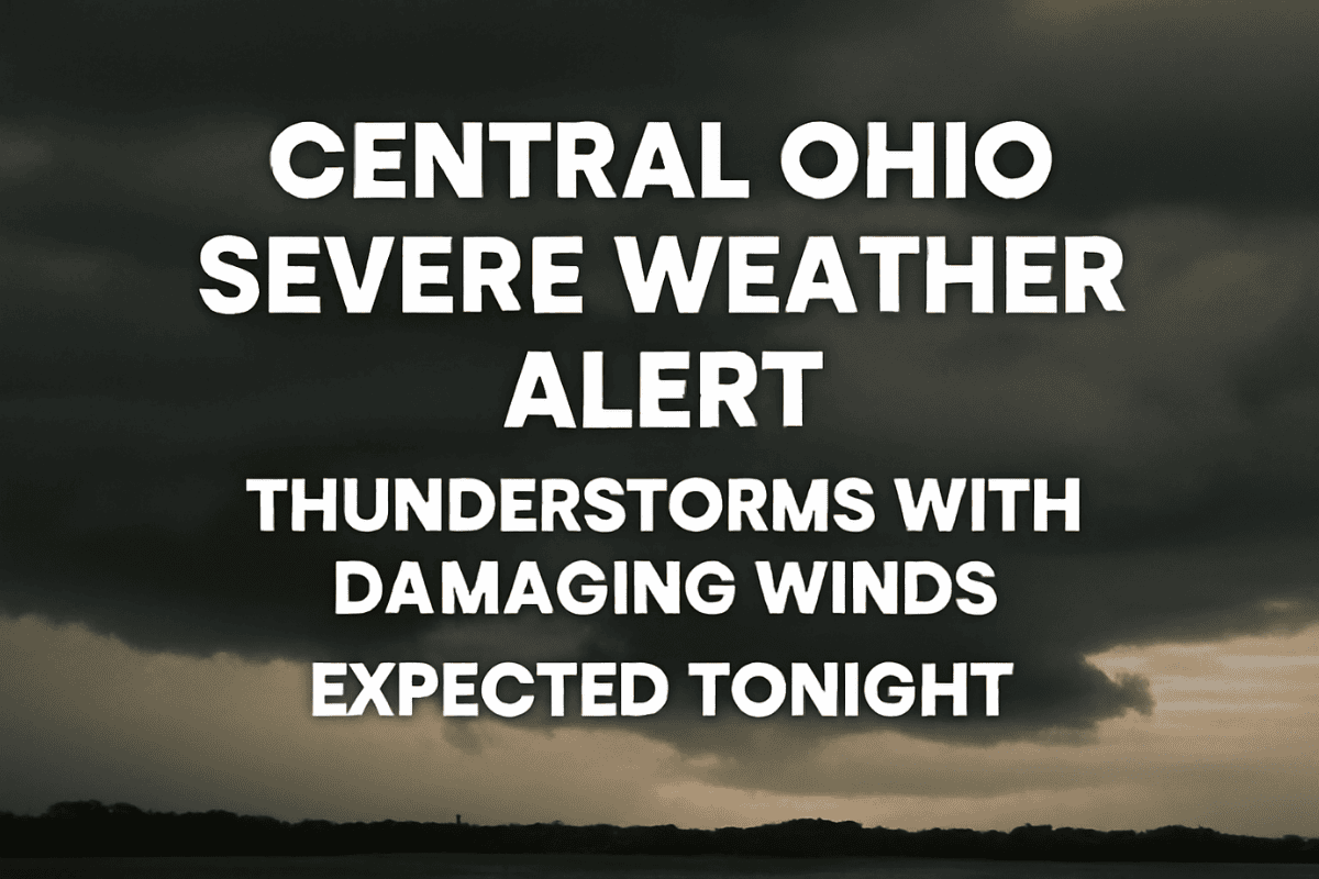
Columbus, OH – A round of severe thunderstorms is set to hit central and southern Ohio on Wednesday night into early Thursday morning. Residents should prepare for strong storms that could bring damaging winds, large hail, and the potential for power outages. The storm window is expected to occur between 7 p.m. and 2 a.m., with the worst conditions likely to happen overnight.
Severe Storms to Impact Central Ohio
According to the National Weather Service in Wilmington, OH, powerful storms are expected to sweep through the region, bringing gusty winds capable of knocking down tree limbs and causing power disruptions.
While large hail is also possible, the risk of a tornado is relatively low but still cannot be ruled out entirely. Weather spotters may be activated to help track the storm’s progression.
The storm will affect a broad area, including cities like Columbus, Dayton, and counties such as Fairfield, Franklin, and Licking. People in these areas should secure outdoor furniture and any loose objects that could become flying hazards in high winds. It’s also important to have multiple ways of receiving weather alerts, especially overnight when storms may cause disruptions.
What to Expect on Juneteenth and Beyond
After the severe weather, conditions will improve on Thursday, Juneteenth. While lingering showers and thunderstorms are possible before 4 p.m., the day will be cooler with a high near 79°F. As the weather shifts into the weekend, expect much warmer temperatures, with plenty of sunshine for outdoor activities.
Friday will see mostly sunny skies and a high near 86°F, and Saturday will heat up further, reaching around 90°F. By Sunday, temperatures are expected to soar to 95°F, marking the start of a hot stretch.
Five-Day Central Ohio Forecast:
Wednesday Night: Showers and thunderstorms likely after 10 p.m., with some severe storms. Low around 69°F.
Thursday (Juneteenth): A chance of showers and thunderstorms. High near 79°F.
Friday: Mostly sunny, with a high near 86°F.
Saturday: Sunny, with a high near 90°F.
Sunday: Sunny, with a high near 95°F.
Be Prepared for Severe Weather
Residents of central Ohio should stay alert for severe thunderstorms tonight, as powerful winds and hail are expected to move through the area. Make sure to take necessary precautions to protect yourself and your property from storm damage.
After the storms, the weather will clear up and warm up, making the weekend ideal for outdoor plans. Stay safe and informed through the night, and remember to check for weather alerts.


