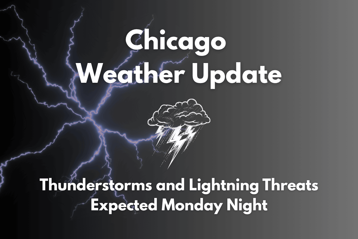
Chicago, Illinois – Thunderstorms are expected to hit northern Illinois on Monday evening, bringing potential threats of damaging winds and heavy rainfall. These storms could disrupt evening commutes and outdoor plans in the Chicago area, as high humidity and warm temperatures create an unstable atmosphere.
Thunderstorm Forecast for Monday
The National Weather Service in Chicago has warned of scattered to numerous thunderstorms from the afternoon into the early evening. These storms are likely to bring lightning, torrential rainfall, and, in some cases, isolated damaging wind gusts. With a Level 1 risk for severe weather, residents should remain alert.
The storms are expected to impact major highways like I-55 and I-94 during rush hour, leading to reduced visibility and localized flooding, especially in low-lying areas. Drivers are advised to be cautious, as heavy rain could make roads slippery. It’s also recommended to secure outdoor furniture and charge your mobile devices before the storms arrive.
Weather Conditions for Tuesday
The stormy weather will clear up by Tuesday, bringing cooler and less humid conditions to Chicago. Daytime temperatures are expected to be in the range of 80°F with lower humidity, offering a brief but welcome break from the summer heat. While the storms will subside, rain could return later in the week.
Chicago Four-Day Forecast
| Day | Weather | High Temperature | Low Temperature | Additional Information |
|---|---|---|---|---|
| Monday | Scattered afternoon and evening storms | 85–89°F | 62–69°F | – |
| Tuesday | Sunny and less humid | 80–85°F | 62–71°F | – |
| Wednesday | Mostly sunny | 82–88°F | 65–71°F | – |
| Thursday | Partly cloudy, chance of storms later | 83°F | – | – |
While Monday evening brings thunderstorms with potential disruptions, the weather will improve by Tuesday, offering a much-needed break from the humidity. As the week progresses, be prepared for returning storm chances later on, but enjoy the cooler, drier air while it lasts.


