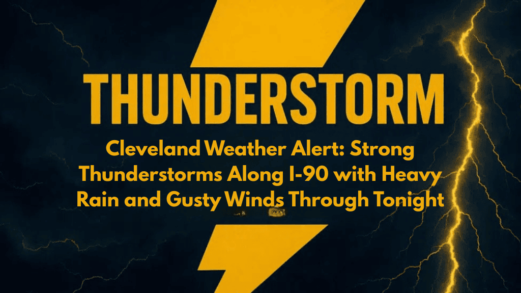
Cleveland, Ohio – Thunderstorms are rapidly developing along the I-90 corridor in northeast Ohio and northwest Pennsylvania this afternoon, bringing a risk of torrential rain, strong wind gusts, and frequent lightning. Drivers along the Lake Erie shoreline should be prepared for rapidly changing road conditions as storms move northeast through the early evening hours.
Thunderstorms Intensifying Throughout the Day
The National Weather Service in Cleveland reports that a secondary band of storms over southern Michigan is moving southeast and is expected to enter northwest Ohio later today. These storms could intensify as they approach, increasing the risk of localized flooding in low-lying areas and producing brief but dangerous wind gusts.
Areas Most at Risk
The strongest storms are expected to affect interior northeast Ohio and parts of northwest Pennsylvania. The combination of lightning strikes and heavy rain may briefly reduce visibility on major highways such as I-90 and I-480, as well as nearby secondary roads. Residents and drivers in these areas are advised to exercise caution.
Travel and Safety Precautions
Officials recommend delaying any unnecessary travel until the storms pass, as road conditions could deteriorate quickly. It is also important to ensure that devices are fully charged in case of power outages, which are possible due to gusty winds.
Storms Diminishing Overnight
Storm chances will gradually decrease overnight, but unsettled weather may return later in the week. It’s essential to stay informed for any updates or additional warnings as the situation evolves.


