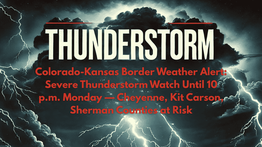
Kit Carson, Colorado – Residents along the Colorado-Kansas border are on high alert as a Severe Thunderstorm Watch remains in effect through 10 p.m. Monday. The storms could bring damaging winds, large hail, and the potential for flash flooding across several counties in both eastern Colorado and northwest Kansas. Power outages and hazardous travel conditions are likely.
🌩️ What to Expect: Damaging Winds and Large Hail
The National Weather Service’s Storm Prediction Center has issued a watch for nine counties in eastern Colorado—including Cheyenne, Kit Carson, Lincoln, Logan, Morgan, Phillips, Sedgwick, Washington, and Yuma—and Cheyenne and Sherman counties in Kansas. These storms are expected to intensify during the late afternoon and evening, with the I-70 corridor being particularly impacted.
Key storm threats include:
Wind gusts potentially topping 60 mph, which could down trees and power lines.
Large hail up to golf ball size, which could damage vehicles, roofs, and crops.
Flash flooding on rural roads and highways, especially in low-lying areas near the state line.
🚗 Travel Warnings: Caution on Wet Roads
Local emergency officials urge residents to avoid unnecessary travel as these storms may cause sudden low visibility and flooded roadways, particularly across rural routes and highways like I-70. If you must travel, be prepared for sudden downpours and potential road hazards.
⚡ Safety Tips: Stay Prepared
Secure outdoor items that could be blown away by strong winds.
Monitor local alerts from the National Weather Service (NWS) and ensure you have a reliable way to receive weather updates.
Have flashlights and backup power ready in case of power outages.
⏳ Timing: When to Expect the Worst
The Severe Thunderstorm Watch is set to expire by 10 p.m. Monday, but the storms could persist or intensify, especially in the evening hours. Be prepared for rapid changes in weather conditions, and stay tuned for any additional warnings from the NWS if the storm activity continues.
🌡️ Five-Day Forecast for Kit Carson and Surrounding Areas
Monday, August 7:
Severe thunderstorms likely with damaging winds and hail
High: 88°F | Low: 65°F
Storms expected from late afternoon through evening, with conditions improving by nightfall
Tuesday, August 8:
Mostly sunny, no storms expected
High: 90°F | Low: 68°F
Wednesday, August 9:
Partly cloudy, with a slight chance of afternoon showers
High: 92°F | Low: 70°F
Thursday, August 10:
Sunny and dry, warmer temperatures
High: 94°F | Low: 72°F
Friday, August 11:
Partly cloudy, mild temperatures
High: 90°F | Low: 71°F
📝 Final Thoughts
Kit Carson and surrounding areas in eastern Colorado and northwest Kansas should be ready for damaging winds, large hail, and the potential for flash flooding with tonight’s severe thunderstorms. Travel may be hazardous on rural roads and highways, and power outages could occur. Stay prepared by securing outdoor items, keeping flashlights handy, and monitoring weather updates throughout the evening.


