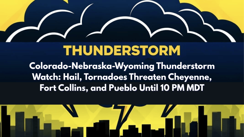
Severe thunderstorms are expected to hit parts of Colorado, Wyoming, and Nebraska on Wednesday, with a Severe Thunderstorm Watch issued until 10 p.m. MDT. The storm could bring tornadoes, two-inch hail, and winds gusting up to 70 mph, affecting millions of residents and travelers across the region, including Denver, Cheyenne, Fort Collins, and Pueblo.
Severe Thunderstorm Watch for Major Front Range Cities
The National Weather Service has issued a Severe Thunderstorm Watch for several major cities, including Boulder, Fort Collins, Colorado Springs, and Pueblo. This alert covers several Colorado counties, including Adams, Boulder, Denver, Jefferson, Weld, and El Paso, with the storm zone stretching east into western Nebraska and north through southern Wyoming, including cities like Cheyenne and Sterling.
Hazardous Weather Conditions and Safety Tips
This watch warns of severe weather conditions that could include:
Tornadoes: The storm could spawn isolated tornadoes, with the potential for damage to buildings and vehicles.
Hail: Two-inch hail is possible, which could severely damage vehicles, roofs, and crops.
Strong Winds: Winds gusting up to 70 mph could down trees, power lines, and cause flying debris, making travel hazardous.
Motorists along I-25 and I-70 should be prepared for rapidly changing weather conditions, including low visibility and potential road closures due to downed trees, debris, and flooding. The risk of accidents is high, so drivers should avoid non-essential travel after 4 p.m., when the storms are expected to intensify.
Precautionary Measures for Residents
Charge mobile devices: Keep your phone charged in case of power outages. Having a portable charger could be helpful.
Secure outdoor items: Ensure any outdoor furniture, decorations, or equipment are safely stored away to avoid damage from wind and hail.
Avoid travel after 4 p.m.: If possible, stay indoors and limit travel as conditions deteriorate.
Monitor local weather: Stay tuned to weather alerts and updates for any further warnings or watches.
First Major Summer Severe Weather Event
Wednesday’s storms mark the first widespread severe weather event in the region since June, echoing similar weather patterns seen in previous years. As storms develop through the evening, it is possible that additional watches, warnings, or advisories may be issued. Stay informed by following local weather updates.
What to Expect
The Severe Thunderstorm Watch will remain in effect until 10 p.m. MDT. While the risk of tornadoes and large hail is significant, conditions may evolve, and further updates may be issued as the storm continues to develop. Residents and travelers should stay prepared and be ready to take action if new warnings are issued.
Residents across Colorado, Wyoming, and Nebraska should take the Severe Thunderstorm Watch seriously today. With tornadoes, large hail, and strong winds expected, it’s important to secure property, stay indoors, and monitor weather updates. The storm’s path stretches across key cities like Denver, Fort Collins, and Cheyenne, so being prepared will help ensure safety.