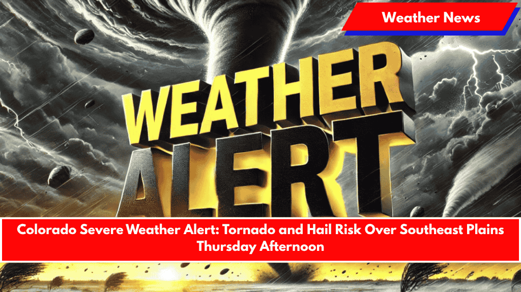
Pueblo, Colorado – Severe thunderstorms are expected to develop across southern and eastern Colorado Thursday, bringing a heightened risk of tornadoes, large hail, and damaging winds starting midday.
The National Weather Service in Pueblo warns that storms will initially form over the mountains by lunchtime, affecting areas along the Palmer Divide, Raton Pass, and the I-25 corridor throughout the afternoon. The storm threat will expand eastward into the plains, impacting counties like Baca, Bent, and Prowers, with the severe conditions likely continuing into the evening.
Hazardous Conditions Expected:
- Wind Gusts: Up to 70 mph, which can cause damage to trees, power lines, and structures.
- Hail: Up to 2 inches in diameter, large enough to cause damage to vehicles and crops.
- Flash Flooding: Low-lying areas may experience localized flooding.
- Tornadoes: There is a possibility of one or two tornadoes forming in the affected areas.
Communities at Higher Risk
- La Junta
- Lamar
- Springfield
These communities are in the higher risk zone and should stay alert throughout the afternoon and evening as the storm system develops.
Safety Tips:
- Avoid Travel: Drivers should refrain from traveling during peak storm hours, especially when storms are most intense.
- Secure Outdoor Items: Ensure that any loose outdoor furniture or decor is safely stored to prevent damage from high winds.
- Stay Informed: Residents are urged to have multiple ways to receive emergency alerts, such as a weather radio or mobile phone app. Charge devices and keep them nearby in case of power outages.
Looking Ahead
Severe weather watches and warnings are likely to be issued Thursday afternoon into the night. Stay tuned for updates as conditions change, and be prepared for rapidly changing weather.


