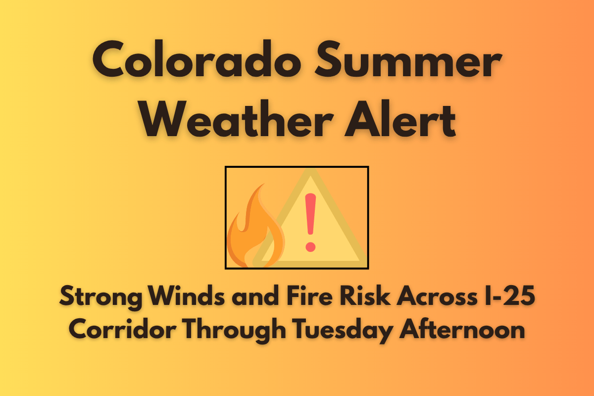
Denver, Colorado – Colorado is experiencing a return of high winds and dry conditions, raising concerns about wildfire risks. As of Tuesday, June 24, strong winds and low humidity will affect areas along the I-25 corridor, particularly northeast and north-central Colorado. These weather conditions are prompting local authorities to closely monitor the situation.
High Winds and Fire Danger in Colorado
According to the National Weather Service (NWS) in Boulder, wind gusts could reach up to 40 mph across mountain zones and the high plains on Tuesday afternoon. In areas around the Denver metro area and along I-25, gusts of up to 30 mph are expected.
This dry and windy weather will cause humidity levels to drop sharply, creating hazardous fire weather conditions, especially near South Park. This situation will remain critical from midday until the evening hours.
Areas such as South Park, Larimer County, and foothills near Jefferson and Boulder counties are at heightened risk for wildfires. Residents are urged to avoid open flames and delay any outdoor burning. These areas should remain vigilant, as conditions could quickly lead to fast-moving fires.
The winds will shift southeast by late afternoon, offering some temporary relief. However, thunderstorms are expected later in the week, which could alter the fire risk situation.
Thunderstorms and Scattered Rain Expected Later in the Week
Tuesday evening could bring scattered thunderstorms, particularly south and east of Denver. These storms may bring localized downpours and brief gusty winds, but the dry air and wind during the day will continue to heighten the fire risk.
Even though temperatures will remain mild for the time being, residents must stay weather-aware, as lightning and strong winds could escalate hazards on Wednesday night.
Conditions will begin to moderate midweek, with storm chances increasing on Wednesday. By Thursday, the skies will clear, and warmer temperatures will return.
Five-Day Forecast for Denver, CO (June 24–28)
| Day | Weather | High Temperature | Additional Information |
|---|---|---|---|
| Tuesday, June 24 | Partly sunny, breezy, thunderstorms likely after 3 PM | 84°F | Wind gusts up to 30 mph |
| Wednesday, June 25 | Partly sunny, slight chance of thunderstorms after noon | 81°F | Breezy in the afternoon |
| Thursday, June 26 | Sunny and warm | 89°F | – |
| Friday, June 27 | Mostly sunny and hot | 93°F | Nighttime low near 62°F |
| Saturday, June 28 | Mostly sunny with isolated afternoon storms | 90°F | – |
Fire Safety and Weather Preparedness
As fire danger remains high throughout Tuesday, residents should be especially cautious. Avoid any outdoor activities that could spark a fire, stay aware of the weather forecast, and prepare for thunderstorms later in the week. It’s crucial to stay informed and follow any additional warnings from local agencies regarding fire safety.
With the dry and windy conditions expected to persist through Tuesday afternoon, it’s essential for Colorado residents to take proper precautions. Limiting outdoor activities, staying updated on weather changes, and ensuring fire safety will help keep the community safe.


