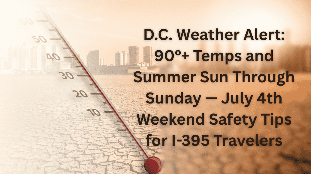
Washington, D.C. – Sunshine and sizzling heat are locked in across the District through early next week, bringing highs near 94°F and increasing health risks for outdoor events. Travelers on busy roads like I-395 and I-695 should be cautious of potential midday traffic congestion as the heat combines with summer crowds.
According to the National Weather Service, Thursday’s high will peak near 91°F with calm conditions shifting to light northwesterly winds by the afternoon. This heat will stretch through Independence Day on Friday, with a sunny, dry pattern holding steady through the holiday weekend.
By Saturday and Sunday, Washington will see daytime highs between 89°F and 91°F, with overnight lows in the upper 60s. With calm winds and cloud-free skies, these days offer great conditions for fireworks and outdoor gatherings.
However, health officials urge everyone to hydrate, use sunscreen, and limit direct sun exposure during peak afternoon hours. They also advise avoiding heavy traffic corridors like I-395 and I-695 during midday congestion.
Looking ahead, Monday will be the warmest day in this stretch, reaching 94°F under mostly sunny skies. Tuesday will bring increased clouds and humidity, with a 50% chance of thunderstorms during the day, increasing to 30% overnight. Rain may continue into Wednesday, breaking the heat streak.
⚠️ Summer Heat Advisory
The heat index will remain above 90°F through Monday. Further updates will be provided if the storm risk increases on Tuesday.
🔎 Five-Day Forecast (July 4 – July 9)
| Day | Weather | High Temperature | Low Temperature | Additional Information |
|---|---|---|---|---|
| Friday (July 4) | Sunny | 88°F | – | Calm winds |
| Saturday | Sunny | 89°F | 67°F | – |
| Sunday | Sunny | 91°F | 73°F | – |
| Monday | Mostly sunny | 94°F | 74°F | – |
| Tuesday | 50% chance of showers and storms | 91°F | – | Showers continue Tuesday night (30%) |


