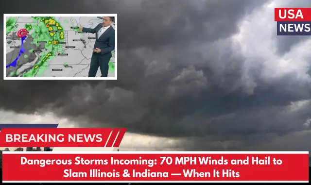
⚠️ Intense Rain Sparks Flash Flood Warning Across Illinois & Indiana
At 12:32 a.m., the National Weather Service (NWS) in Chicago issued a Flash Flood Warning after Doppler radar detected heavy rainfall pouring down at rates between 2 to 4 inches per hour. Some areas have already received over an inch of rain, raising urgent concerns for flooding.
“Flash flooding caused by thunderstorms,” the NWS warned. “Flash flooding is either ongoing or expected to start very soon.”
🌧️ Warning Active Until 4:30 p.m.
⚠️ Counties Under Alert:
Illinois:
- Cook
- DuPage
- Lake
- Will
Indiana:
- Lake
- Porter
- LaPorte
Flooding is expected to affect creeks, streams, urban streets, highways, underpasses, and other vulnerable low-lying areas.
🚗 Cities Most at Risk:
- Chicago
- Aurora
- Naperville
- Gary
- Hammond
- East Chicago
⚠️ Safety Reminder from NWS:
“Turn around, don’t drown when you come across flooded roads. The majority of flood-related deaths happen in vehicles.”
🌩️ Additional Weather Alerts:
A Severe Thunderstorm Watch remains in effect until 5:00 p.m. Friday for much of northeastern Illinois and northwest Indiana, including counties such as Cook, Lake, DuPage, Will, Lake (IN), and Porter.
⛈️ More Storms Expected:
The National Weather Service warns that additional thunderstorms may develop, increasing the risk of flooding and dangerous conditions throughout the afternoon.


